
|
|
| ČESKÁ REPUBLIKA | CZECH REPUBLIC |
| Jihočeský kraj | South Bohemia (České Budějovice) region |
| Okres: Tábor |
map →
 Soběslav is situated at an elevation of 405 m on the river Lužnice (Luschnitz, Lainsitz) in South Bohemia.
Soběslav was first mentioned in 1239 and received the status of a royal town in 1390.
Soběslav is situated at an elevation of 405 m on the river Lužnice (Luschnitz, Lainsitz) in South Bohemia.
Soběslav was first mentioned in 1239 and received the status of a royal town in 1390.
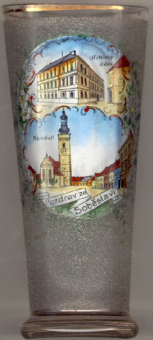
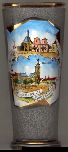
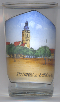
The  deanary church of St. Peter and Paul [left and right: bottom pictures]
was built at the end of the 15th and the beginning 16th century. The tower (68 m high) was built in 1485–1487
and received its Baroque roof in 1750.
deanary church of St. Peter and Paul [left and right: bottom pictures]
was built at the end of the 15th and the beginning 16th century. The tower (68 m high) was built in 1485–1487
and received its Baroque roof in 1750.
The Gothic hospital church of St. Vitus [right: top picture]
was built in 1374–1390.
The top picture of glass no. 109 [left] shows a building labelled
učitelský ústav ('normal school').
![[scale]](lineal.jpg)