
|
|
| DEUTSCHLAND | GERMANY |
| Bundesland: Rheinland-Pfalz | Rhineland-Palatinate |
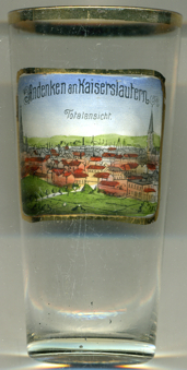
| Stadt: Kaiserslautern |
map →
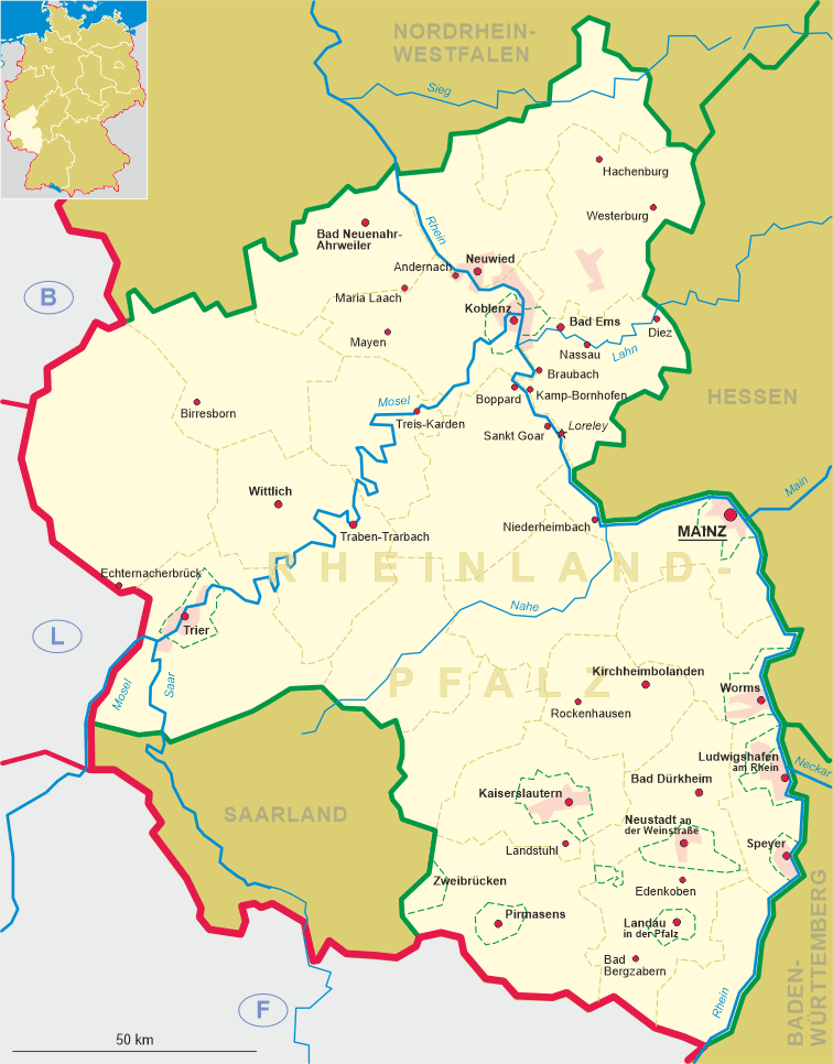
 Kaiserslautern is situated at an elevation of 246 m in southern Rheinland-Pfalz.
A document of AD 830 mentions a royal residence at Luthra. By 985 the place had
obtained the status of a market town. After 1152 it became an imperial residence
under Emperor Friedrich I (Barbarossa). In 1276 it was chartered as a town.
The name Kaiserslautern appears first in a document of 1322.
Since 1375 Kaiserslautern was part of the Palatinate (Pfalz). Between 1576 and 1592
it was residence of the independent principality of Pfalz-Lautern, but after the death of
Count Palatine Johann Casimir it fell back to the Electorate of the Palatinate.
Kaiserslautern was occupied and devastated several times during the
Thirty Years' War (1618–1848), the Palatinate War of Succession (1688–1697)
and the Spanish War of Succession (1701–1714).
In 1801, after the Peace of Lunéville, it became part of France together with the
remaining areas of the Palatinate left of the Rhine. During the French period it
was the seat of a sous-préfecture of the département Mont-Tonnerre (Donnersberg; capital at
Mayence / Mainz).
After the Congress of Vienna (1815) the Palatinate became
part of the Kingdom of Bavaria in 1816. After World War I Kaiserslautern remained occupied
by France until 1930. During World War II the old town was largely destroyed.
After the War, the Palatinate became part of the newly established state of Rheinland-Pfalz
within the French occupation zone of Germany. Between 1950 and 1955 it also became the
largest U.S. military community outside the United States, known as K-Town to the Americans.
Today Kaiserslautern is a modern town with about 100,000 inhabitants.
![[scale]](lineal.jpg)