
|
|
| DEUTSCHLAND | GERMANY |
| Bundesland: Freistaat Thüringen | Thuringia |
| Landkreise: Schmalkalden-Meiningen, Gotha |
map →
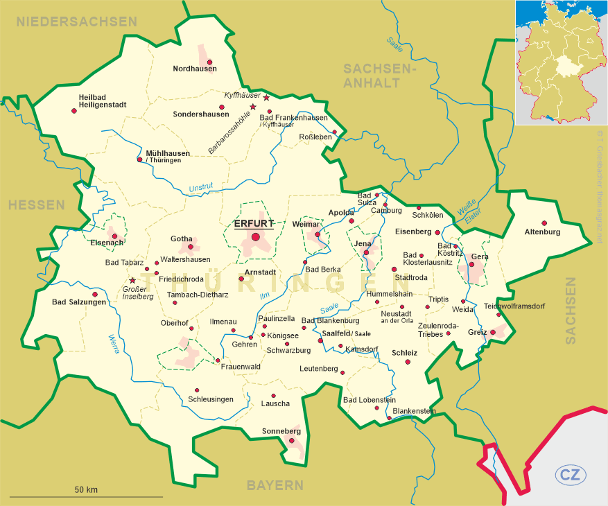
| ALT: Großer Inselberg |
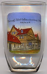 The mountain Großer Inselsberg (916 m) is the best-known elevation in the Thüringer Wald region, located between
the resorts of Bretterode and Tabarz.
The path across the mountain, called 'Rennsteig', was an important trading route during the Middle Ages.
For centuries it marked the border between the Duchy of Saxe-Gotha and the exclave Schmalkalden of the
Landgraviate (1803 Electorate) Hesse-Kassel (1866 Prussian province Hesse).
The development of the area began in the mid-17th century under Duke Ernst I ('the Pious', ruled 1640/1672–1675) of Saxe-Gotha.
About 100 years later an observatory was built under Duke Ernst II (ruled 1772–1804).
The mountain Großer Inselsberg (916 m) is the best-known elevation in the Thüringer Wald region, located between
the resorts of Bretterode and Tabarz.
The path across the mountain, called 'Rennsteig', was an important trading route during the Middle Ages.
For centuries it marked the border between the Duchy of Saxe-Gotha and the exclave Schmalkalden of the
Landgraviate (1803 Electorate) Hesse-Kassel (1866 Prussian province Hesse).
The development of the area began in the mid-17th century under Duke Ernst I ('the Pious', ruled 1640/1672–1675) of Saxe-Gotha.
About 100 years later an observatory was built under Duke Ernst II (ruled 1772–1804).
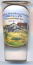
 In the 19th century two inns were built, one on each side of the border, both of which still exist today:
The  Berggasthof Hotel
![[scale]](lineal.jpg)