
|
|
| POLSKA | POLAND |
| województwo: Zachodniopomorskie | voivodship: West Pomerania |
| powiat: Kamienna Góra | county: Kamienna Góra |
map →
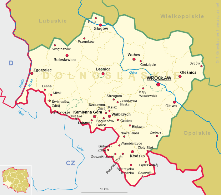
 Lubawka (German Liebau) is situated at an elevation of 503 m about 11 km south of the
district town Kamienna Góra (Landeshut) in the voivodship Lower Silesia of southwestern Poland.
Lubawka (German Liebau) is situated at an elevation of 503 m about 11 km south of the
district town Kamienna Góra (Landeshut) in the voivodship Lower Silesia of southwestern Poland.
The area had been inhabited at least since the 10th century.
The town proper was founded in 1290 by Piast Duke Bolko I of Lwówek Śląski-Jawor (Löwenberg-Jauer).
The oldest document mentioning Lubawka dates from 1292 and mentions the town as a property of the Cistercian
monastery of Krzeszów (Grüssau, gmina Kamienna Góra).
In 1368 Lubawka came in possession of the Bohemian Crown, and together with Bohemia it became part of the
Habsburg countries in 1526. In 1742 the region passed to Prussia. After World War II Lubawka became
part of Poland.
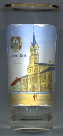
The  town hall [left] was built in 1726. The tower was added in 1781.
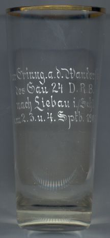
The labeling on the back side of the glass reads
"Zur Erinn[erun]g a[n]. d[ie]. Wanderschaft des Gau 24
![[scale]](lineal.jpg) contact: webmaster
contact: webmaster