
|
|
| ÖSTERREICH | AUSTRIA |
| Bundesland: Steiermark | Styria |
| Bezirk: Weiz |
map →

 Rettenegg is situated at an elevation of 862 m at the river Feistritz and the Pfaffenbach stream
in the Fischbacher Alps of eastern Styria. As of the census of 2001 the municipality had a population of 795.
Rettenegg is situated at an elevation of 862 m at the river Feistritz and the Pfaffenbach stream
in the Fischbacher Alps of eastern Styria. As of the census of 2001 the municipality had a population of 795.
A new attraction of the popular summer and winter resort is the hiking path "Himmel auf Erden" ("Heaven on Earth"). The path leads onto the Stuhleck, the highest elevation (1,782 m) of the Fischbacher Alps, and represents the solar system on a scale of 1:1,000,000,000.
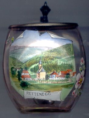
Glass no. 2026 [left] shows a view of the village with the
 parish
![[scale]](lineal.jpg)