
|
|
| ÖSTERREICH | AUSTRIA |
| Bundesland: Kärnten | Carinthia |
| Bezirk: Sankt Veit an der Glan |
map →
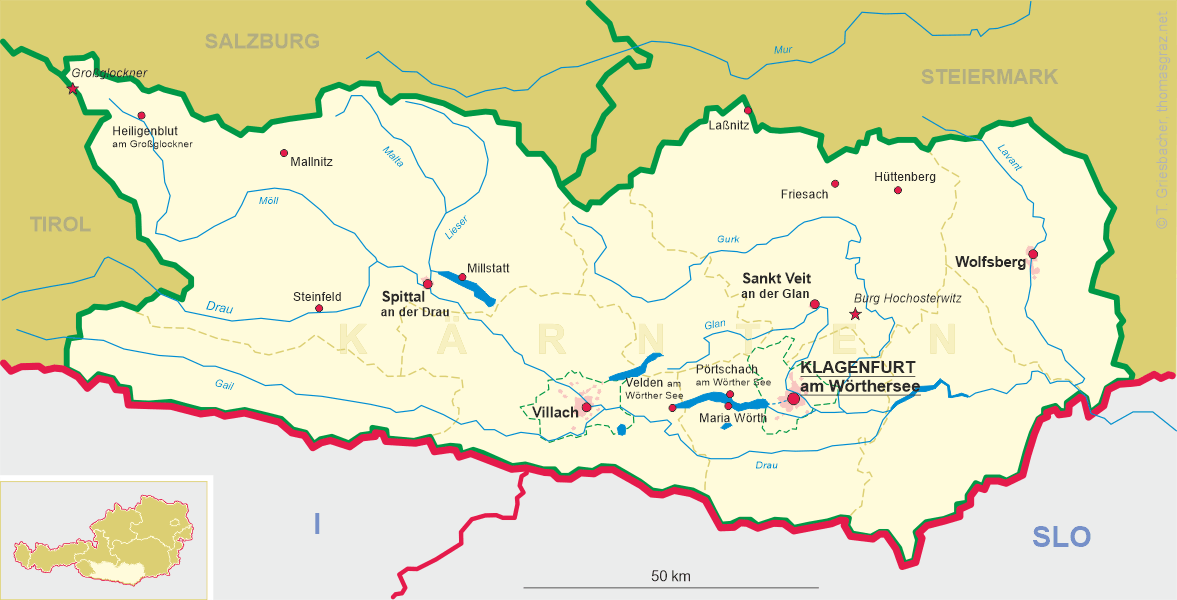
 Laßnitz is situated at an elevation of 1010 m at the border between Austria's federal states of Kärntnen (Carinthia)
and Steiermark (Styria). The picture on glass no. 2215 shows the Carinthian part of the village, which is also called
Kärntnerisch Laßnitz to distinguish it from the Styrian part, Steirisch Laßnitz.
Kärntnerisch Laßnitz is part of the municipality of Metnitz (district St. Veit an der Glan),
whereas Steirisch Laßnitz is part of the municipality of Murau Murau (until 31 December 2014
part of the independent municipality of Laßnitz bei Murau).
Laßnitz is situated at an elevation of 1010 m at the border between Austria's federal states of Kärntnen (Carinthia)
and Steiermark (Styria). The picture on glass no. 2215 shows the Carinthian part of the village, which is also called
Kärntnerisch Laßnitz to distinguish it from the Styrian part, Steirisch Laßnitz.
Kärntnerisch Laßnitz is part of the municipality of Metnitz (district St. Veit an der Glan),
whereas Steirisch Laßnitz is part of the municipality of Murau Murau (until 31 December 2014
part of the independent municipality of Laßnitz bei Murau).
The history of Laßnitz can be traced back to about 1200. The
 parish
[https://de.wikipedia.org/wiki/Pfarrkirche_Kärntnerisch_Laßnitz]
![[scale]](lineal.jpg)