
|
|
| DEUTSCHLAND | GERMANY |
| Bundesland: Freistaat Thüringen | Thuringia |
| Landkreis: Gotha |
map →
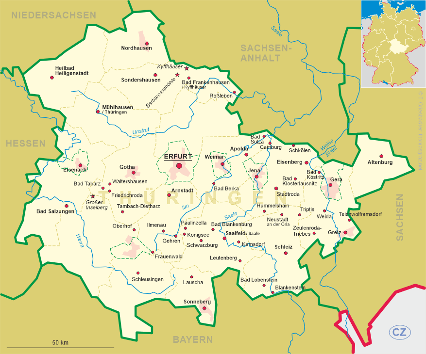
 Waltershausen is situated at an elevation of 320 m between the Thuringian Forest and the Thuringian Basin in the Gotha district of Germany's state of Thuringia.
The municipality has a population of about 10,750 (2009).
Waltershausen is situated at an elevation of 320 m between the Thuringian Forest and the Thuringian Basin in the Gotha district of Germany's state of Thuringia.
The municipality has a population of about 10,750 (2009).
The village, located at the crossroads of the ancient Salt Road from Salzungen to Erfurt and the road from
Eisenach to Saalfeld. The earliest written document mentioning Waltherißhusin dates from 1209.
At that time it had the status of a chartered town under the suzerainty of the archbishopric of Mainz.
In 1815 the first manufactures of toys and dolls were founded and this industry became the city's most important economical factor in the 19th century
so that it was even nicknamed 'Puppenstadt' (dolls' town). The Thuringian Forest Railroad reached Waltershausen in 1929 and connected the town with
Tabarz, located southwest of Waltershausen, and Gotha in the northeast. The industrial production of dolls, however, ended in 1990
when the last producing company closed. Since 2003, the building of the former dolls factory, listed as an architectural monument, is home of the 'Kommune Waltershausen'.
[https://de.wikipedia.org/wiki/Waltershausen]
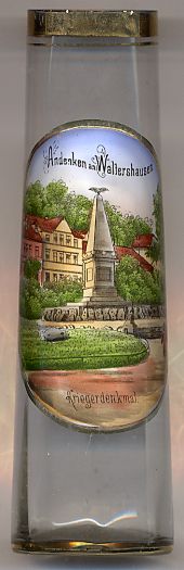
The picture on glass no. 2635 [left] shows the  soldiers'
![[scale]](lineal.jpg)