
|
|
| ÖSTERREICH | AUSTRIA |
| Bundesland: Oberösterreich | Upper Austria |
| Bezirk: Urfahr-Umgebung |
map →
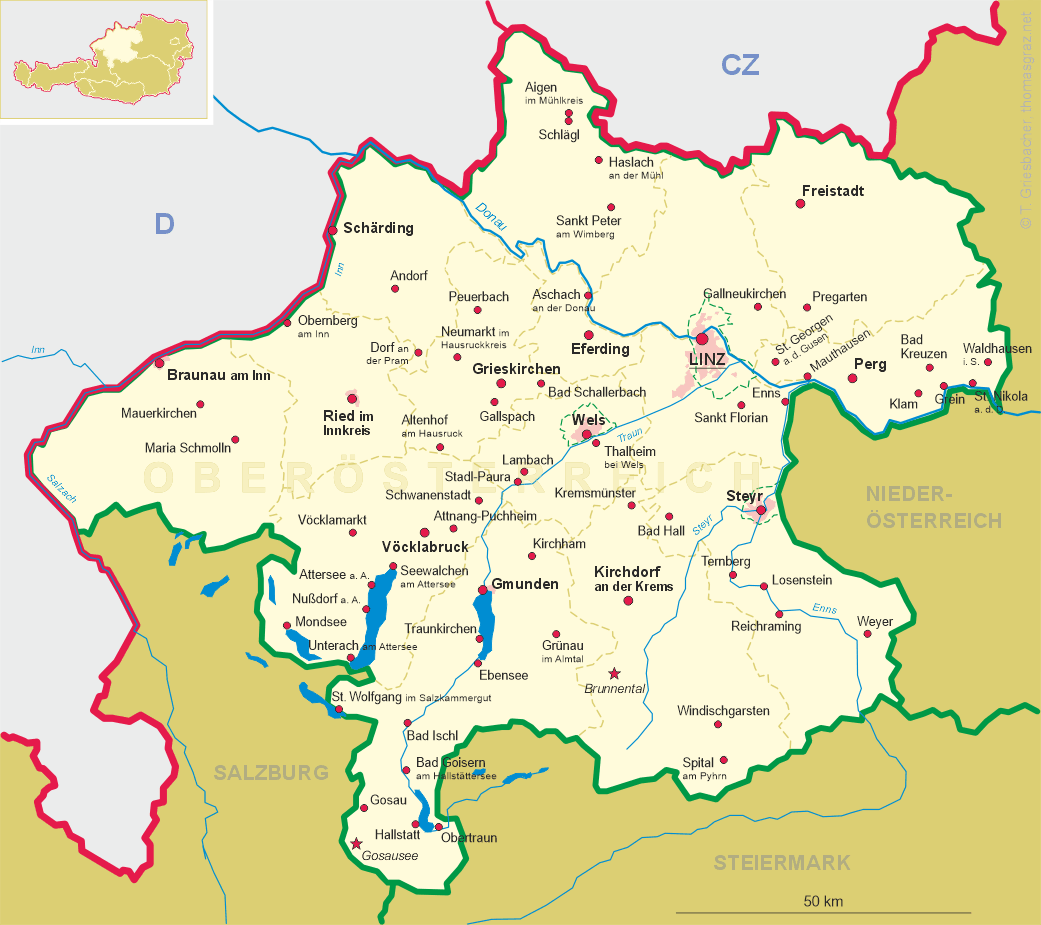
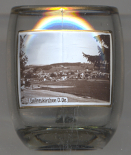 Gallneukirchen is situated an an elevation of 336 m in the Lower Mühlviertel region, about
14 km northeast of Upper Austria's capital, Linz. The municipality has a population of about
6,300 (2016).
Gallneukirchen is situated an an elevation of 336 m in the Lower Mühlviertel region, about
14 km northeast of Upper Austria's capital, Linz. The municipality has a population of about
6,300 (2016).
The local parish was presumably founded in the 9th century. Novenkirchen was first mentioned in 1125.
The parish church, dedicated to St. Gallus, was first mentioned in 1180. Between 1211 and 1411, the bishopric of
Passau held the feudal rights. The vllage obtained the status of a market town around 1260
(confirmed in 1510). The current name, Gallneukirchen, is used since 1356. In 1985, Gallneukirchen obtained
the title 'European municipality'. On 5 March 2001, Gallneukirchen was granted the status as a town.
![[scale]](lineal.jpg)