
|
|
| FRANCE | FRANCE |
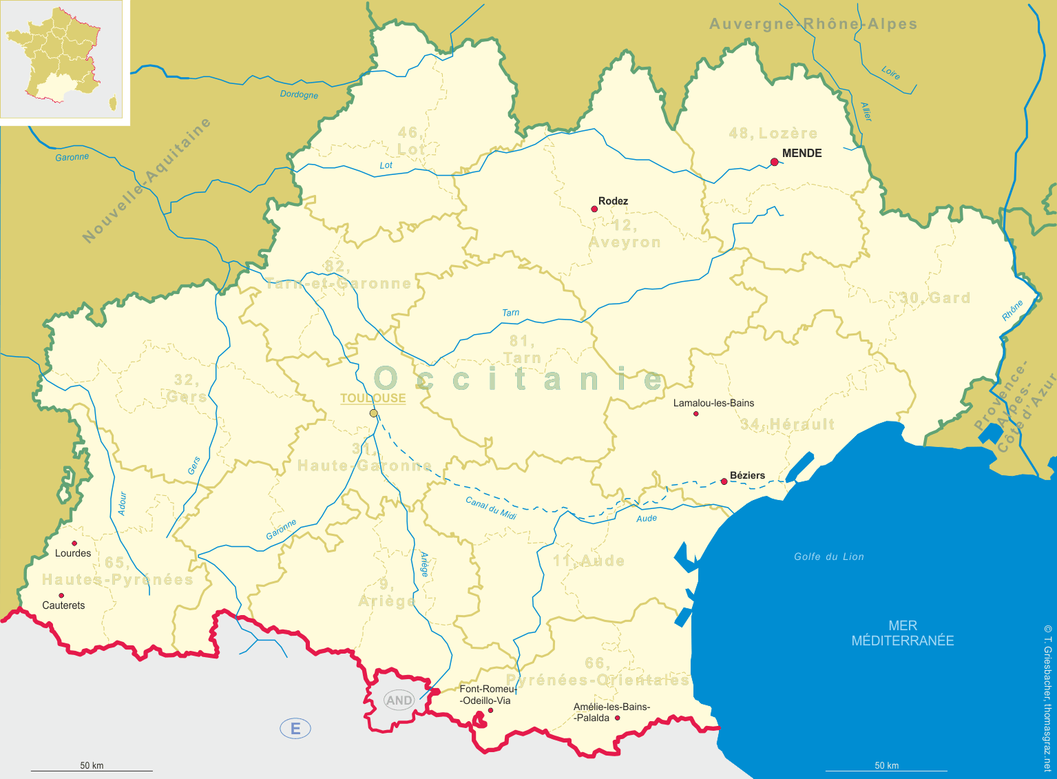
| région: Occitanie | |
| département: 12, Aveyron |
map →
 Rodez is situated at an elevation of 614 m on the river Aveyron in the western foothills of the Massif Central
in the département Aveyron of southern France. Rodez is the seat of the administration (chef-lieu) of the
arrondissement of the same name. The municipality has a population of about 24,100 (2014).
Rodez is situated at an elevation of 614 m on the river Aveyron in the western foothills of the Massif Central
in the département Aveyron of southern France. Rodez is the seat of the administration (chef-lieu) of the
arrondissement of the same name. The municipality has a population of about 24,100 (2014).
Existing from at least the 5th century BC, Rodez was founded by the Celts. After the Roman occupation, the oppidum (fortified place) was renamed Segodunum, while in late Imperial times it was known as Civitas Rutenorum, whence the modern name. After the fall of the Western Roman Empire, it was captured by the Visigoths and then by the Franks, being also ravaged by the Arabs in 725. Later it was occupied by the armies of the Dukes of Aquitaine and of the Counts of Toulouse. English troops occupied Rodez during the Hundred Years War. In the Modern era, the old rival of Rodez was Villefranche-de-Rouergue. The French Revolution took away Villefranche's role of administrative capital, for the benefit of Rodez, which became prefecture and chef-lieu of the new département of Aveyron due to its central position.
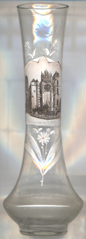
 Rodez Cathedral (Cathédrale Notre-Dame de Rodez) [left, no. 4352]
was first mentioned already around AD 516. That structure was rebuilt around 1000, but almost nothing of it remained as
the church was rebuilt again in 1276. The works were halted for many years by the Plague and the Hundred Years War (1337–1453),
and were restarted only in the early 15th century with the completion of the choir and its vault, as well as the transept
and of the first sectors of the nave. After a large fire in 1510, it was rebuilt in 1513–1526 with a new majestic bell
tower. The cathedral was completed around 1531. In 1792–98, Pierre Méchain and Jean-Baptiste Delambre used
Rodez Cathedral as the central surveying point for their calculation of the circumference of the earth. This was used in the
definition of the metre.
Rodez Cathedral (Cathédrale Notre-Dame de Rodez) [left, no. 4352]
was first mentioned already around AD 516. That structure was rebuilt around 1000, but almost nothing of it remained as
the church was rebuilt again in 1276. The works were halted for many years by the Plague and the Hundred Years War (1337–1453),
and were restarted only in the early 15th century with the completion of the choir and its vault, as well as the transept
and of the first sectors of the nave. After a large fire in 1510, it was rebuilt in 1513–1526 with a new majestic bell
tower. The cathedral was completed around 1531. In 1792–98, Pierre Méchain and Jean-Baptiste Delambre used
Rodez Cathedral as the central surveying point for their calculation of the circumference of the earth. This was used in the
definition of the metre.
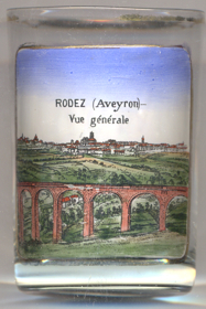
The railroad bridge viaduc de la Gascarie across the Aveyron river was built in 1897.
The viaduct has a total length of 296 metres, the largest width of its spans is 20 metres, the maximum height is 49 metres.
[https://en.wikipedia.org/wiki/Rodez, https://de.wikipedia.org/wiki/Rodez; http://fallingrain.com/world/FR/B3/Rodez.html;
https://structurae.net/en/structures/gascarie-viaduct, https://fr.wikipedia.org/wiki/Viaduc_de_la_Gascarie]
![[scale]](lineal.jpg)