
|
|
| DEUTSCHLAND | GERMANY |
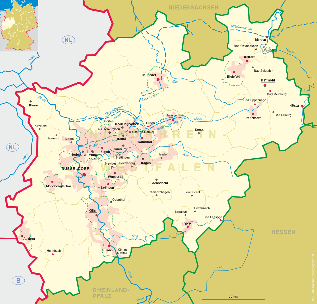
| Bundesland: Nordrhein-Westfalen | North Rhine-Westphalia |
| Regierungsbezirk: Münster | |
| Kreis: Recklinghausen |
map →
 Recklinghausen is situated at an elevation of 85 m in the east of the Emscherland region. At a population of
about 12,300 (2018) it is German'y 60th-largest city and the 22nd-largest in Northrhine-Westfalia.
Recklinghausen is situated at an elevation of 85 m in the east of the Emscherland region. At a population of
about 12,300 (2018) it is German'y 60th-largest city and the 22nd-largest in Northrhine-Westfalia.
First mentioned in 1017 as Ricoldinchuson, in 1150 the city was the center of the surrounding Vest Recklinghausen. In 1236, the city of Recklinghausen received town privileges. There is record of Jews in the city as early as 1305. As part of the County of Vest, ownership of Recklinghausen changed several times in the 15th and 16th century, and in 1576, the entire county was pawned to the Elector of Cologne. In 1582–83, again in 1586, and again in 1587, the city was plundered by partisan armies during the Cologne War, a feud over religious parity in the electorate and electoral influence in the Holy Roman Empire. Recklinghausen was also the site of more than 100 witchcraft trials (1514–1710). The trial activity reached a climax twice: In the time period of 1580/81 and again in 1588/89. Around 1600, the administration of the Vest Recklinghausen was divided into two parts, with the eastern part administered by Recklinghausen. The town of Recklinghausen included the parish of Recklinghausen and the parishes Ahsen, Datteln, Flaesheim, Hamm-Bossendorf, Henrichenburg, Herten, Horneburg, Oer, Suderwich, Waltrop and Westerholt. Circa 1815, the Vest was made a Bürgermeisterei, with the town becoming the seat. In 1819, Herten joined the Recklinghausen Bürgermeisterei, and Erkenschwick followed in 1821.
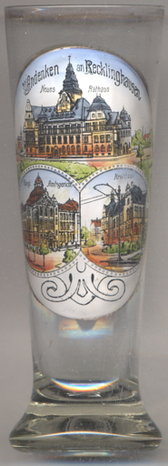
The  town hall (Neues Rathaus) [left, no. 3651: top picture] is
Recklinghausen's fourth town hall building and is a popular landmark. It was built in 1908.
town hall (Neues Rathaus) [left, no. 3651: top picture] is
Recklinghausen's fourth town hall building and is a popular landmark. It was built in 1908.
The bottom left picture shows a view of the
The bottom right picture shows a view of the
[https://de.wikipedia.org/wiki/Recklinghausen, https://en.wikipedia.org/wiki/Recklinghausen;
http://genwiki.genealogy.net/Gericht_Recklinghausen; https://www.finanzverwaltung.nrw.de/de/kreishaus-varianten-recklinghausen]
Royal district court (Königliches Amtsgericht) in Reitzensteinstraße,
built in 1907.
District House (Kreishaus), the old seat of the district administration that was
opened in 1890.
![[scale]](lineal.jpg) contact: webmaster
contact: webmaster