
|
|
| DEUTSCHLAND | GERMANY |
| Bundesland: Freistaat Thüringen | Thuringia |
| Landkreis: Weimarer Land |
map →
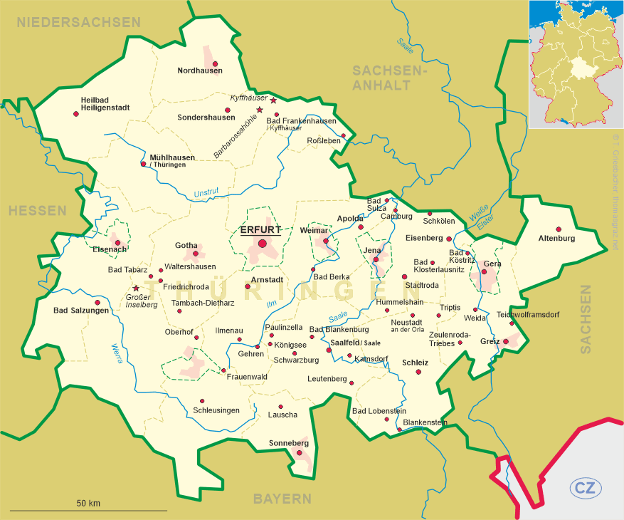
 Bad Berka is situated at an elevation of 275 m on the river Ilm, 12 km south of Weimar,
24 km southeast of Erfurt and 20 km west of Jena. The
municipality has a population of about 7,500 (2018).
Bad Berka is situated at an elevation of 275 m on the river Ilm, 12 km south of Weimar,
24 km southeast of Erfurt and 20 km west of Jena. The
municipality has a population of about 7,500 (2018).
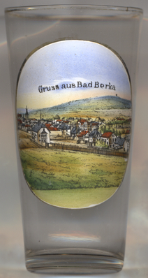
The oldest written document mentioning Bercha dates from 1119 when the loal church was donated to the collegiate of Our Lady of Erfurt. A Cistercian monastery was founded by the lords of Berka in 1241 and existed until 1525. At least since 1414 Berka it had the status of a town. Since the 16th century the town was part of the duchy of Saxe-Weimar, since 1741 Saxe-Weimar-Eisenach. The first reports of the sulfur-containing mineral springs date from 1807/1811. Duke Carl August of Saxe-Weimar-Eisenach founded the first spa, which opened in 1813. Johann Wolfgang von Goethe, who had advised the duke, stayed in the spa for six weeks in 1814. A railway line from Weimar to Blankenhain via Berka opened in 1887, a branch line to Kranichfeld opened in 1888. The first sanatorium for lung diseases opened in 1898. The predicate Bad was added to the name of the municipality in 1911. The municipality of Tannroda was incorporated into Bad Berka in 1994, Gutendorf followed in 2008.
The Protestant  town church Sannkt Marien [far left, barely visible]
goes back to the monastery and hurch that were founded in 1240. The monastery was dissolved in 1525 and the original
church was destroyed by a large fire in 1608. The church tower was rebuilt in 1727–1731, the church itself was
rebuilt in 1735 in Baroque style using the foundations and outer walls of the original Gothic church.
town church Sannkt Marien [far left, barely visible]
goes back to the monastery and hurch that were founded in 1240. The monastery was dissolved in 1525 and the original
church was destroyed by a large fire in 1608. The church tower was rebuilt in 1727–1731, the church itself was
rebuilt in 1735 in Baroque style using the foundations and outer walls of the original Gothic church.
[https://de.wikipedia.org/wiki/Bad_Berka;
https://de.wikipedia.org/wiki/St._Marien_(Bad_Berka)]
![[scale]](lineal.jpg)