
|
|
| DEUTSCHLAND | GERMANY |
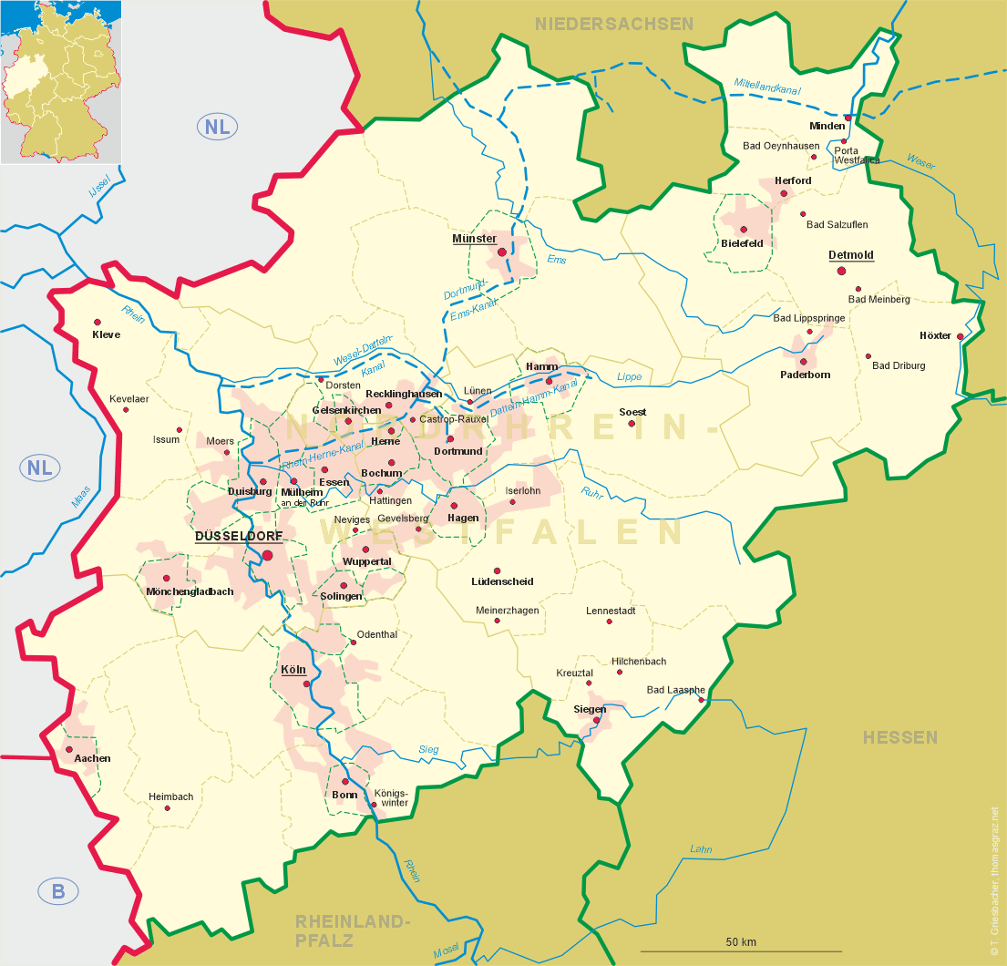
| Bundesland: Nordrhein-Westfalen | North Rhine-Westphalia |
| Regierungsbezirk: Arnsberg | |
| Kreis: Unna |
map →
Lünen is situated at an elevation of 58 m in the river Lippe, about 12 km northeast of Dortmund and about 14 km northwest of the district town Unna. The municipality has a population of about 85,700 (2021). Since 2014, the city is organised in 14 statistical districts: Lünen-Mitte, Geistviertel, Osterfeld, Lünen-Nord, Beckinghausen, Niederaden, Horstmar, Lünen-Süd, Gahmen, Brambauer, Lippholthausen, Alstedde, Nordlünen und Wethmar (the latter three until 1974 formed the municpality of Altlünen in what was then the district of Lüdinghausen).
Leynen/Liunon was first mentioned around 880/890 in a document of the monastery of Werden (today part of Essen). Fortified in 1215, the settlement by 1279 had obtained the status of a market town within the territory ruled by the bishops of Münster. Shortly before 1300 it came in possession of the counts of Mark and in 1341 it was granted the status of a town. When the counts of Mark became extinct in 1609, the duchy of Jülich-Kleve-Berg was partitioned and Mark and Kleve in 1688 became part of Prussia. After the Peace of Tilsit in 1807 it became part of the French Grand Duchy of Berg until 1813. In the 20th century, Lünen was enlarged by the merger with Lippolthausen in 1914, and ahmen, Horstmar and Beckinghausen in 1923. The neighbouring municpality of Brambauer was incorporated into Lünen in 1928, followed by Niederaden in 1968 and Altlünen in 1975. In 1996, Lünen became part of the district Unna.
Brambauer is located in the west of the municipality of Lünen. With a population of about 20,000 it is the largest statistical district of the municpality.
Braemburschopp was first mentioned in 1545. The border between the county of Dortmund (with Brambauer) and the county of Mark was formally specified in 1565. During the Prussian period, Lünen in 1814/1844 became a municipality in the district Lünen. Between 1905 and 1928 Brambauer, together with Holthausen, Brechten, Eving, Lindenhorst, Kemminghausen and Lippholthausen, was part of the district Eving. Between 1914 and 1928 Brambauer, Brechten and Holthausen formed the district of Brambauer. In 1928 Brambauer was incorporated into the municipality of Lünen.
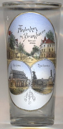
The top picture on glass no. 4210 [left] shows a view of
 Waltroper Straße
The bottom left picture is labeled
Kath[olische] Kirche
The Zeche (colliery) Minister Achenbach [bottom right picture] was named after the Prussian Minister of
Commerce Heinrich von Achenbach. The first test drillings were carried out in 1870 and three years later, hard coal was found. The mine finally went into
operation in 1900. In the following decades, the colliery was expanded several times. By 1970, the authorized area covered an area of 42.5 km².
In 1987, production at the mine was reduced from 10,000 tons to 7,500 tons per day. In mid-1992, the mine's deposit reserves were depleted. After the
colliery was closed in 1992, several shafts were filled and the day facilities were demolished in 1993 and 1994 with a few exceptions. Today, the
landmark of the facility is the 'Colani egg', built on the former headframe and based on an idea sketch by the German designer Luigi Colani.
[https://de.wikipedia.org/wiki/L%C3%BCnen;
https://de.wikipedia.org/wiki/Brambauer;
https://de.wikipedia.org/wiki/Herz_Jesu_(Brambauer);
https://de.wikipedia.org/wiki/Zeche_Minister_Achenbach]
![[scale]](lineal.jpg)