
|
|
| DEUTSCHLAND | GERMANY |
| Bundesland: Niedersachsen | Lower Saxony |
| Landkreis: Leer |
map →
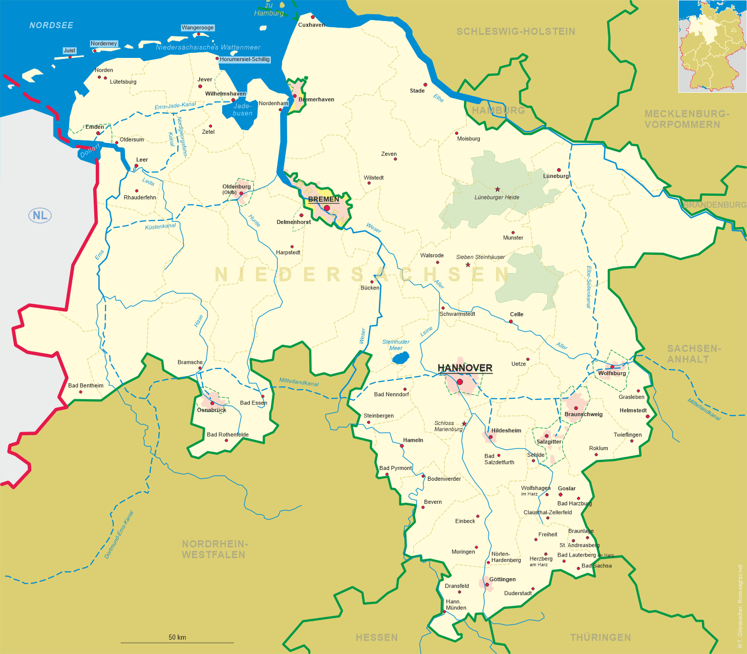
 Rhauderfehn is situated at an elevation of 4 m in the southern Ostfriesland region of northwestern Niedersachsen (Lower Saxony).
The municipality of Rhauderfehn was formed in 1973 by the merging of 10 formerly independent villages
(Backemoor, Burlage, Collinghorst, Holte, Klostermoor, Rhaude, Rhaudermoor, Schatteburg, Westrhauderfehn and the western part of Langholt).
The oldest part of Rhauderfehn probably is Backemoor, whose church was built around 1250.
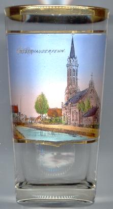
Westrhauderfehn (which is depicted on glass no. 915) began to develop when a company for the purpose of
cutting peat was founded in 1766. Today Westrhauderfehn is the largest district of the municipality of Rhauderfehn.
Rhauderfehn is situated at an elevation of 4 m in the southern Ostfriesland region of northwestern Niedersachsen (Lower Saxony).
The municipality of Rhauderfehn was formed in 1973 by the merging of 10 formerly independent villages
(Backemoor, Burlage, Collinghorst, Holte, Klostermoor, Rhaude, Rhaudermoor, Schatteburg, Westrhauderfehn and the western part of Langholt).
The oldest part of Rhauderfehn probably is Backemoor, whose church was built around 1250.
Westrhauderfehn (which is depicted on glass no. 915) began to develop when a company for the purpose of
cutting peat was founded in 1766. Today Westrhauderfehn is the largest district of the municipality of Rhauderfehn.
The  Lutheran church of Westrhauderfehn [left] was built in 1848 in Neo-Classical style. The tower was added
in 1885/86 and is the highest (53.5 m) church tower in Ostfriesland.
Lutheran church of Westrhauderfehn [left] was built in 1848 in Neo-Classical style. The tower was added
in 1885/86 and is the highest (53.5 m) church tower in Ostfriesland.
![[scale]](lineal.jpg)