
|
|
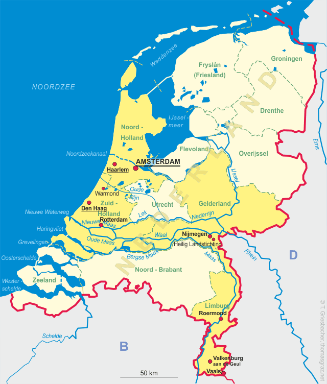
| NEDERLAND | NETHERLANDS |
| Limburg |
map →
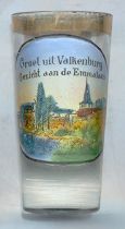
Valkenburg aan de Geul is situated at an elevation of 102 m on the river Geul in the southern Limburg hill country.
The area was already intensely populated during Roman times as archeological finds show.
The first mention of Falchenberch in a document dates from the year 1041; however, historians today believe
that that place is not identical to the present town, but rather was in Oud-Valkenburg (today part of Valkenburg).
Throughout the centuries the history of the town is marked by sieges and conquerings. The castle,
the only elevated castle in the Netherlands, was finally destroyed in 1672 and never was rebuilt again.
It was during the mid-19th century that the town became a
well-known place for tourism, especially after the first Dutch tourist office was set up here in 1852.
The first Dutch railroad, from Valkenburg to Aachen (Germany), was opened in 1853.
Today Valkenburg is the most important tourist place in the region with more than
1.2 million overnight stays per year.
The  church Sint Nicolaas en Sint Barbara [background right]
was built in 1281 when Valkenburg became an independent parish. At first it was dedicated to St. Nicholas only; around 1600
St. Barbara became the second patron saint of the church. The church became used both for Protestant and Catholic services
when Valkenburg was conquered by the Protestant Leage of the Netherlands during the Thirty Years' War in 1633.
The last Protestant mass was likely held in 1808 and in 1819 the church became a purely Catholic church again.
The building was extended by a long chancel in 1836, and in 1904 it was enlarged in Neo-Gothic style.
During World War II the church suffered severe damages and it took until 1961 to fully restore it.
church Sint Nicolaas en Sint Barbara [background right]
was built in 1281 when Valkenburg became an independent parish. At first it was dedicated to St. Nicholas only; around 1600
St. Barbara became the second patron saint of the church. The church became used both for Protestant and Catholic services
when Valkenburg was conquered by the Protestant Leage of the Netherlands during the Thirty Years' War in 1633.
The last Protestant mass was likely held in 1808 and in 1819 the church became a purely Catholic church again.
The building was extended by a long chancel in 1836, and in 1904 it was enlarged in Neo-Gothic style.
During World War II the church suffered severe damages and it took until 1961 to fully restore it.
![[scale]](lineal.jpg)