
|
|
| ÖSTERREICH | AUSTRIA |
| Bundesland: Oberösterreich | Upper Austria |
| Bezirk: Perg |
map →
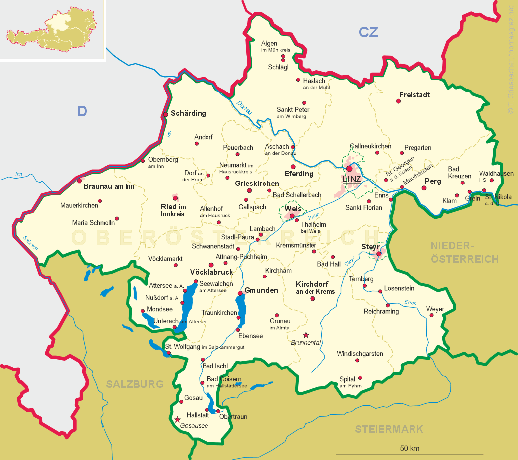
 Perg is situated at an elevation of 250 m on the Naarn stream and is the centre of the Machland area in the southeastern Mühlviertel region of Upper Austria.
It has a population (2004) of about 7,300.
Perg is situated at an elevation of 250 m on the Naarn stream and is the centre of the Machland area in the southeastern Mühlviertel region of Upper Austria.
It has a population (2004) of about 7,300.
The earliest traces of human presence in the area go back to the early Stone Age, about 5000 to 1500 BC. Celtic tribes inhabited the region in the 3rd century BC. After the Romans had extended the borders of their empire as far north as the river Danube in 15 BC they also occupied a narrow strip of land north of the river in the following year. In AD 166 the Markomanni and Quades ousted the Romans from the region. During the following centuries many different Slavic and Germanic tribes occupied the area. During the 8th and 9th century the eastern march of the Holy Roman Empire was established. The Lords of Perge were first mentioned in the 11th century. Pergenkirchen was mentioned in 1142. Making of millstones was first mentioned in 1391 and became crucial economic factor for the development of Perg. The guild of millstone makers existed until 1859. Weinzierl and Pergkirchen were incorporated into the municipality of Perg in 1939. The market town, whose privileges went back to the 13th century, was chartered as a town in 1969.
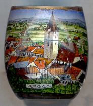
The  parish church Sankt Jakob [left]
goes back to a chapel which was begun in 1416 and later became the presbytery of the late Gothic church which was completed around 1530.
Perg became a parish in 1542.
parish church Sankt Jakob [left]
goes back to a chapel which was begun in 1416 and later became the presbytery of the late Gothic church which was completed around 1530.
Perg became a parish in 1542.
![[scale]](lineal.jpg)