
|
|
| DEUTSCHLAND | GERMANY |
| Bundesland: Niedersachsen | Lower Saxony |
| Landkreis: Goslar |
map →
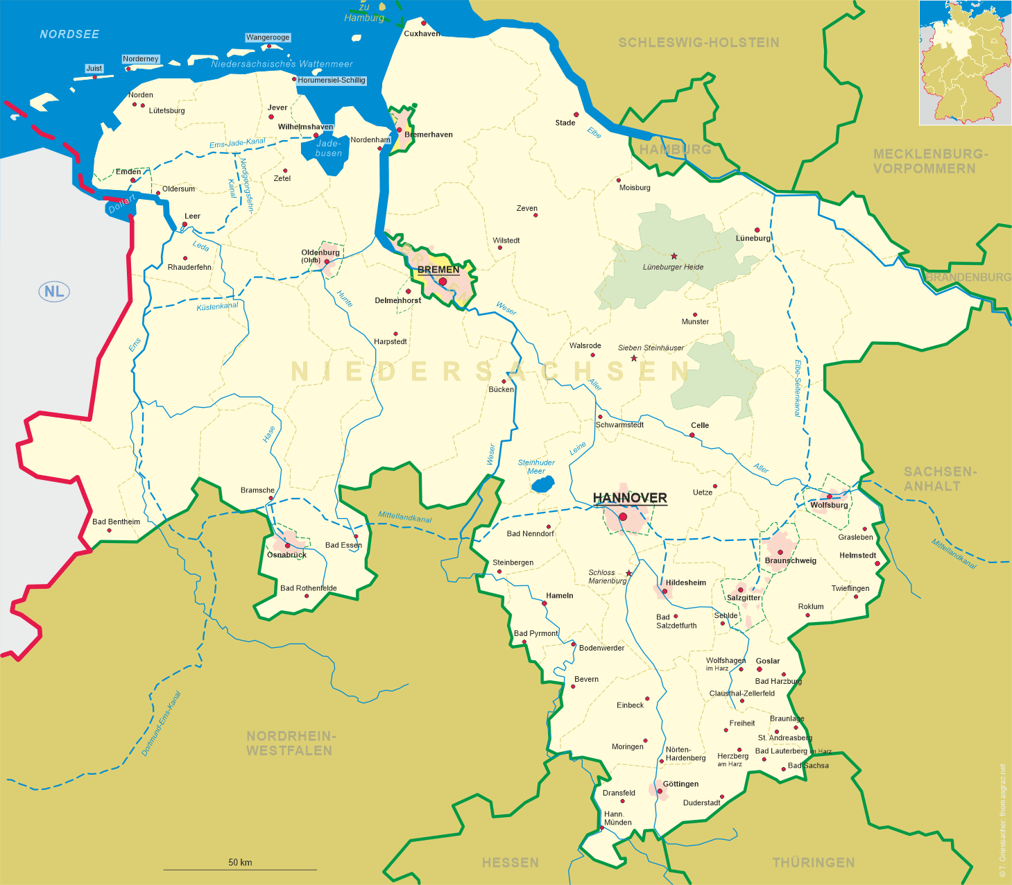
 Bad Harzburg is situated at an elevation of 344 m in eastern Lower Saxony at the northern slopes of the Brocken,
the highest mountain (1,142 m) of the Harz region.
Bad Harzburg is situated at an elevation of 344 m in eastern Lower Saxony at the northern slopes of the Brocken,
the highest mountain (1,142 m) of the Harz region.
The oldest traces of human settlements date back to about 5000 to 2000 BC. Between AD 1065 and 1068 a castle was built by Emperor Heinrich IV in order to protect the Imperial residence at Goslar. A period of growth began when the first saline spring was discovered here in 1569, but it took until 1820 that the waters were used for saline baths. Tourism began to boom when the railroad from Braunschweig via Wolfenbüttel to Harzburg was opened in 1841. In 1892 the town was officially recognized as a spa and was renamed Bad Harzburg. Today a total of five saline springs are used for therapeutic treatments.
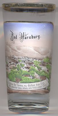
The top picture on glass no. 4414 [left] shows a view of the hill
Großer
 castle Harzburg
[https://de.wikipedia.org/wiki/Gro%C3%9Fer_Burgberg]
The view depicted on the lower left picture is labeled
Unter den Eichen
The lower right picture shows a view of the
Kurhaus
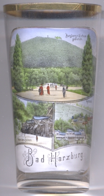
The building depicted on glass no. 2269 [near left] is labeled
Badehaus
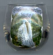
The picture on glass no. 1786 [right] shows the
Radau
![[scale]](lineal.jpg)