
|
|
| ČESKÁ REPUBLIKA | CZECH REPUBLIC |
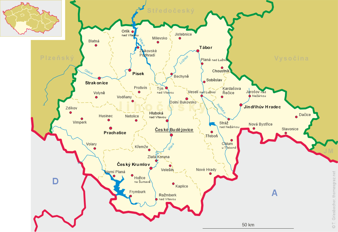
| Jihočeský kraj | South Bohemia (České Budějovice) region |
| Okres: Český Krumlov |
map →
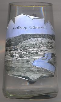 Frymburk is situated at an elevation of 730 m on the left bank of the Lipno reservoir of the river Vltava
in southern Bohemia.
Frymburk is situated at an elevation of 730 m on the left bank of the Lipno reservoir of the river Vltava
in southern Bohemia.
Frymburk (German: Friedberg) was first mentioned in a document of 1277. At first it belonged to the lords of Český Krumlov (Böhmisch-Krumau). In 1302 it came in possession of the lords of Rožmberk (Rosenberg) who in 1379 granted it the privileges of a market town. As Frymburk was located at an important trading route from Austria to Bohemia and the privileges also included the right to levy toll for crossing the bridge across the river, the town soon prospered. During the Thirty Years' War (1618–1648) Frymburk was devastated by the Swedish troops. After the war, in 1676, the ownership of the town passed to the counts of Buquoy. Today, Frymburk is situated at the shore of the Lipno reservoir, which was created by the construction in 1952–1959 of the river Vltava dam at Lipno nad Vltavou. Since then, Frymburk also has become a popular resort place.
The  parish church of St. Bartholomew [background right, barely visible]
was founded before 1277. In 1530 the church was rebuilt in late Gothic style. After the Thirty Years' War the
building was renovated in 1649–1652. Further modifications followed in 1735 and 1870. The interior decorations
date from the Baroque period.
parish church of St. Bartholomew [background right, barely visible]
was founded before 1277. In 1530 the church was rebuilt in late Gothic style. After the Thirty Years' War the
building was renovated in 1649–1652. Further modifications followed in 1735 and 1870. The interior decorations
date from the Baroque period.
[Other glasses in this collection show
Friedberg in Styria, Austria,
Friedberg (Hessen) in Hesse, Germany,
and Frýdek-Místek, Czech Republic, which during the time of the German occupation was named Friedek-Friedberg.]
![[scale]](lineal.jpg)