
|
|
| DEUTSCHLAND | GERMANY |
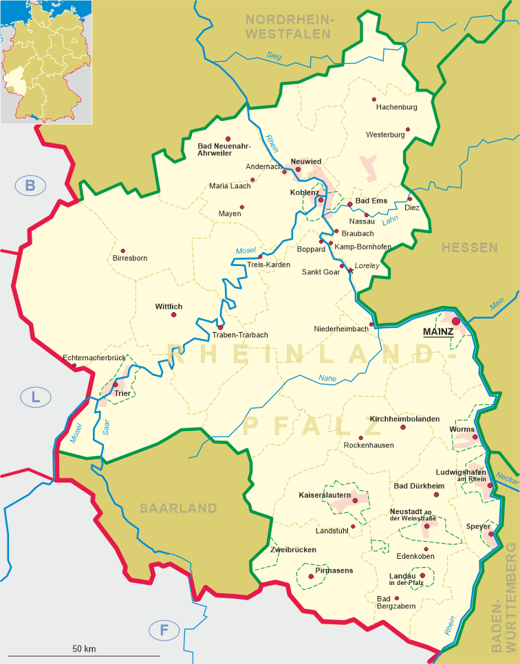
| Bundesland: Rheinland-Pfalz | Rhineland-Palatinate |
| Landkreis: Südliche Weinstraße |
map →
 Bad Bergzabern is situated at an elevation of 170 m on the western edge of the Upper Rhine Plain in the
eastern foothills of the Pfälzerwald mountains. The municipality has a population of about 8,200 (2016).
Bad Bergzabern is situated at an elevation of 170 m on the western edge of the Upper Rhine Plain in the
eastern foothills of the Pfälzerwald mountains. The municipality has a population of about 8,200 (2016).
In the 16th century local scholars were keen to assert that the town had been founded under the Romans, and sources from this period refer to the medieval Latin name as "Tabernae Montanus". Although the area was indeed under the control of the Roman empire two thousand years ago, evidence does not support the notion that Bad Bergzabern had its own origins so far back. In 1286 it obtained the privileges of a town. In 1340 the area came in possession of the Palatinate (Pfalz). When the Palatinate was partitioned in 1410, Bergzabern became part of Pfalz-Zweibrücken. In 1676, during the Franco-Dutch War, the French laid waste the Palatinate region as part of a scheme to enlarge France and much of Bad Bergzabern was destroyed in the process. Reconstruction began in the 18th century under the Duke of Zweibrücken. The work involved stone buildings in the newly fashionable baroque style and included a residential palace for the duke. The overlordship of the dukes of Duke of Zweibrücken ended with the French Revolution. On 10 November 1792 the townsfolk applied for incorporation within the new French Republic. A generation later, however, former French frontiers were restored and under the terms of the Second Peace of Paris (1815) the whole region came under the control of the Wittelsbach kings of Bavaria. After World War II, bergzabern became part of the French occupation zone and the newly formed German state of Rheinland-Pfalz. In 1963 the official name of the town was changed by adding the prefix Bad, recognising the importance of Bergzabern as a spa place. The district (Landkreis) Bergzabern was dissolved in 1969 and incorporated into the new district Landau-Bad Bergzabern, which was renamed district Südliche Weinstra&szig;e in 1978. The neighbouring community of Blankenborn was incorporated into Bad Bergzabern in 1971. In 1972 Bad Bergzabern became the seat of the collective municipality Bad Bergzabern, which also includes the local municipalities Barbelroth, Birkenhördt, Böllenborn, Dierbach, Dörrenbach, Gleiszellen-Gleishorbach, Hergersweiler, Kapellen-Drusweiler, Kapsweyer, Klingenmünster, Niederhorbach, Niederotterbach, Oberhausen, Oberotterbach, Oberschlettenbach, Pleisweiler-Oberhofen, Schweigen-Rechtenbach, Schweighofen, Steinfeld and Vorderweidenthal.
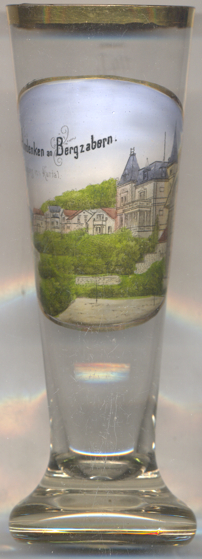
the view depicted on glass no. 3507 is labeled
 Eingang
[https://de.wikipedia.org/wiki/Bad_Bergzabern, https://en.wikipedia.org/wiki/Bad_Bergzabern]
![[scale]](lineal.jpg)