
|
|
| DEUTSCHLAND | GERMANY |
| Bundesland: Hessen | Hesse |
| Regierungsbezirk: Darmstadt | |
| Kreis: Main-Taunus-Kreis |
map →
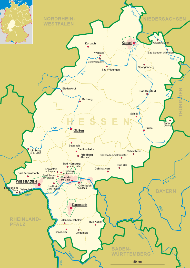
 Hofheim am Taunus, the administrative centre of the Main-Taunus district, is situated at an elevation of 135 m
on the southern edge of the Taunus moutain range, between the cities of Wiesbaden and
Frankfurt/Main. The municipality has a population of about 39.800 (2018).
Hofheim am Taunus, the administrative centre of the Main-Taunus district, is situated at an elevation of 135 m
on the southern edge of the Taunus moutain range, between the cities of Wiesbaden and
Frankfurt/Main. The municipality has a population of about 39.800 (2018).
The oldest known written document mentioning Hoveheim dates from 1254. In 1352 the place, now called Hobeheim,
obtained the privileges of a town. Between 1366 and 1418 it was part of the territories of the Electorate of
Mainz. Therafter, until 1535, it belonged to the counts of Eppstein-Königstein, then the
counts of Stolberg until 1581 when it returned to the Electorate of Mainz. After the period of the French occupation and
following the Reichsdeputationshauptschluss of 1803 it became part of the Principality of Nassau-Usingen and in 1806,
after the unification with the former Principality of Nassau-Weilburg, of the Duchy of Nassau. Afther World War II
Hofheim finally became part of Germany's state of Hesse. Marxheim was incorporated into the municipality of Hofheim in
1938, Langenhain followed in 1971, Diedenbergen and Lorsbach in 1972, and Wallau and Wildsachsen in 1977. Hofheim im Taunus
was made the capital of the Main-Taunus district in 1980; however, the district administration only in 1987 moved to Hofheim
from its former location in Frankfurt/Höchst (until 1928 as Höchst am Main part
of the district).
[https://de.wikipedia.org/wiki/Hofheim_am_Taunus]
![[scale]](lineal.jpg)