
|
|
| DEUTSCHLAND | GERMANY |
| Bundesland: Mecklenburg-Vorpommern | Mecklenburg-West Pomerania |
| Landkreis: Mecklenburgische Seenplatte |
map →
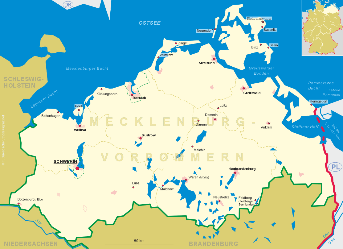
 Dargun is situated at an elevation of 13 m in a side valley of the Peene river in the north of the district Mecklenburgische Seenplatte
of Germany's state of Mecklenburg-Vorpommern. The municipality has a population of about 4,300 (2019).
Dargun is situated at an elevation of 13 m in a side valley of the Peene river in the north of the district Mecklenburgische Seenplatte
of Germany's state of Mecklenburg-Vorpommern. The municipality has a population of about 4,300 (2019).
A West Slavic castle settlement was probably founded in the 7th and 10th century near what later became the village of Röcknitz (today part of Dargun). This settlement was first mentioned in a written document in 1171. The name Rokitnitze was first mentionedin 1218, Rokenitze in 1219. A Cistercian abbey was founded in its vicinity in 1172. As part of Mecklenburg since 1236, the village obtained the privileges of a market town in 1242. The monastery was secularised in 1552 and became a secondary residence of the dukes of Mecklenburg. After 1590, the monastery was transformed first into a hunting lodge and later into a Renaissance residence. Following severe damages during the Thirty Years' War (1618–1648), it was further enlarged in 1657. In 1851, Röcknitz was merged with Dargun and subsequently became a popular climatic health resort. The railway line from Malchin to Dargun was completed in 1907 and in 1938 Dargun obtained the status of a town. From 1952 until 1994 Dargun was part of the district Malchin, thereafter it became part of the district Demmin. Since 2011 it is part of the district Mecklenburgische Seenplatte.
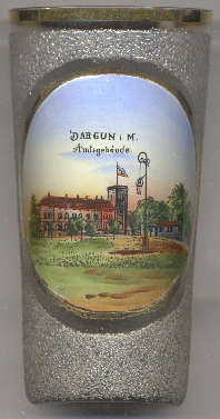
Glass no. 3963 [left] shows a view of the  Amtsgebäude
[https://de.wikipedia.org/wiki/Dargun]
![[scale]](lineal.jpg)