
|
|
| CANADA | |
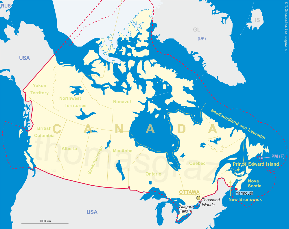
| British Columbia |
map →
 Fernie is situated at an elevation of 1,001 m on the Elk river in the very southeast of
British Columbia. At a population of about 6,300 (2021) it is the largest town of the region.
Fernie is situated at an elevation of 1,001 m on the Elk river in the very southeast of
British Columbia. At a population of about 6,300 (2021) it is the largest town of the region.
Fernie owes its origins to 19th-century prospector William Fernie, who established the coal industry
that continues to exist to this day. Fernie founded the Crows Nest Pass Coal Company in 1897 and established
a temporary encampment near Coal Creek. The Canadian Pacific Railway arrived in the valley the following year,
and a townsite emerged parallel to the railway line slightly north of the initial encampment, or "Old Town".
Like most single-industry towns, Fernie endured several boom-and-bust cycles throughout the 20th century,
generally tied to the global price of coal. The mines at Coal Creek closed permanently by 1960 and the focus of
mining activity shifted to Michel and Natal about 25 kilometres upriver. Fernie would remain an important
residential base for mine labour, along with the new communities of Sparwood and Elkford that sprang up much
closer to these new mines.
[https://de.wikipedia.org/wiki/Fernie_(British_Columbia), https://en.wikipedia.org/wiki/Fernie,_British_Columbia]
![[scale]](lineal.jpg)