
|
|
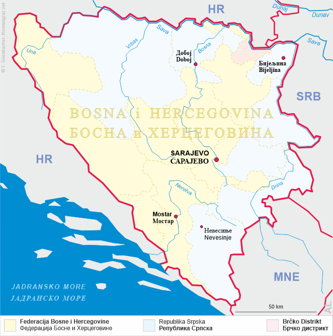
| BOSNA i HERCEGOVINA | BOSNIA and HERZEGOVINA |
| entitet: Federacija Bosne i Hercegovine | entity: Federation of Bosnia and Herzegovina |
| Kanton: Srednjobosanski |
map →
Jajce (in Serbian Cyrillic: Јајце) is situated at an elevation of 380 m at the confluence of the rivers Pliva and Vrbas in Central Bosnia, about 106 km northwest of Sarajevo. The municipality has a population of about 27,300.
 The earliest evidence of a permanent settlement, a temple to the god Mithras, dates from the 4th century AD. the oldest known
written document mentioning the place dates from 1396. At that time, a fortress, and likely also the town, was built at the confluence of
the two rivers. Soon, the place became the centre of the Bosnian state. During the period of the Bosnian kingdom (1377–1463) it served
as its capital. Following hte victory over Hungary at the first Battle of Mohács (1526), the city came under the Ottoman Empire.
In accordance with the decision of the Congress of Berlin (1878), Bosnia and Hercogovina were occupied by
Austria-Hungary and were administered by both parts of the Empire as a condominium until the end of the empire in 1918. From 1929 to 1941,
Jajce was part of the Vrbas Banovina of the Kingdom of Yugoslavia. During the Second World War, Jajce gained importance as centre of a large
swath of free territory, and on 29 November 1943 it hosted the second convention of the Anti-Fascist Council of National Liberation of
Yugoslavia (AVNOJ). Jajce is therefore considered the founding place of the Socialist Federal Republic of Yugoslavia.
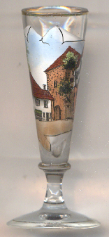
The picture on glass no. 5103 [left] shows a view of the
 Travník gatehouse
[https://de.wikipedia.org/wiki/Jajce, https://en.wikipedia.org/wiki/Jajce;
https://en.wikipedia.org/wiki/Kingdom_of_Bosnia;
https://ciceru.com/blog/places/bosnia-and-herzegovina/jajce/travnik-gate-travnicka-kapija-fc2766ff]
