
|
|
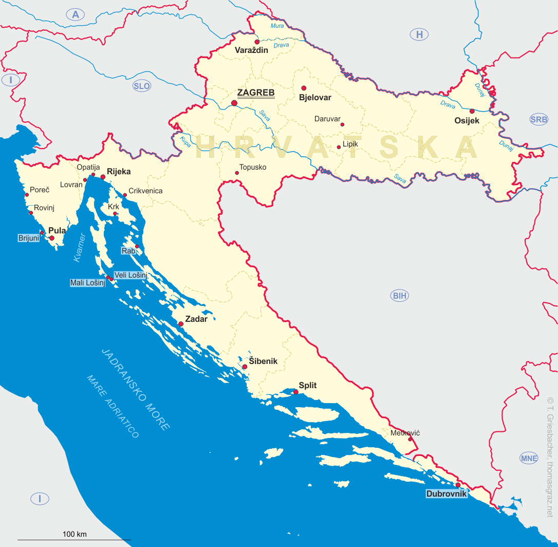
| HRVATSKA | CROATIA |
| županija: Primorsko-goranska |
map →
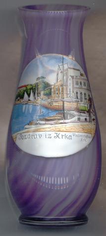 Krk (Italian: Veglia) is (together with Cres) the largest island of the Adriatic Sea (406 km2),
located in the Bay of Kvarner near Rijeka. It is also the most populated island in the Adriatic Sea, with a total
of about 19,400 inhabitants (2011). Its administrative centre is the town of Krk with a population of about 6,300 (2011).
Krk (Italian: Veglia) is (together with Cres) the largest island of the Adriatic Sea (406 km2),
located in the Bay of Kvarner near Rijeka. It is also the most populated island in the Adriatic Sea, with a total
of about 19,400 inhabitants (2011). Its administrative centre is the town of Krk with a population of about 6,300 (2011).
Numerous settlements from prehistoric times have been found at archeological excavations. The Romans replaced the tribe of the Liburnians in the 2nd/1st century BC The fortified Roman town of Curicum (today the town Krk) soon became the centre of the island. From the 7th century onward, Slav settlers came onto the island which at that time was part of the Byzantine empire. The Venetians conquered Krk first in 1001 and then again in 1118. From then on, Krk was part of the Republic of Venice, but the local government remained in the hands of the local Frankopan family. From 1797 Krk was part of the Austrian Monarchy until 1918 except for the Napoleonic occupation between 1809 and 1813. After World War I the island came to Italy for two years, and then was part of the Kingdom of the Serbs, Croats and Slovenes. During World War II, Krk was occupied by Italian troops 1941–1943 and by German troops until 1945. In 1980 the island was connected to the mainland by a bridge. With its eastern span of 390 m the bridge was the worlds largest concrete arch bridge until 1997; the western span has a width of 244 m. The airport of Krk also serves the city of Rijeka on the mainland.
[https://de.wikipedia.org/wiki/Krk, https://en.wikipedia.org/wiki/Krk, https://hr.wikipedia.org/wiki/Krk;
https://hr.wikipedia.org/wiki/Krk_(grad)]
![[scale]](lineal.jpg)