
|
|
| ÖSTERREICH | AUSTRIA |
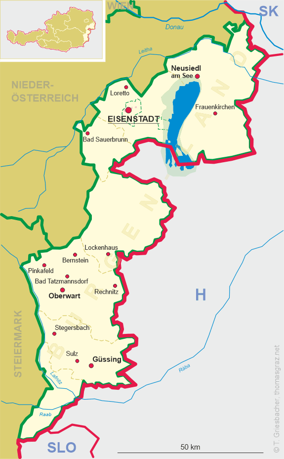
| Bundesland: Burgenland | |
| Bezirk: Güssing |
map →
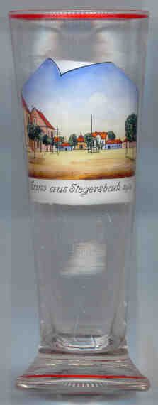 The market town Stegersbach is situated at an elevation of 260 m in the valley of the Strem stream in southern Burgenland, close to the border to Styria.
The place was first mentioned in a document of 1289 as Stegraifebach and at that time belonged to the estates of the castle of Güssing.
The Hungarian (and Croatian) name Szentelek (Santalek) is derived from the original patron saint of the previous parish church, which was first mentioned in 1333 as St. Elek (St. Alexius).
From the 16th century until 1861, Stegersbach consisted of two separate communities, one German and one Croatian.
The market town Stegersbach is situated at an elevation of 260 m in the valley of the Strem stream in southern Burgenland, close to the border to Styria.
The place was first mentioned in a document of 1289 as Stegraifebach and at that time belonged to the estates of the castle of Güssing.
The Hungarian (and Croatian) name Szentelek (Santalek) is derived from the original patron saint of the previous parish church, which was first mentioned in 1333 as St. Elek (St. Alexius).
From the 16th century until 1861, Stegersbach consisted of two separate communities, one German and one Croatian.
Since the discovery of a thermal mineral spring in 1989, Stegersbach is one of the youngest spa towns in Austria.
The bicarbonate-sulforous thermal waters (37–50°C) are used for the treatment of diseases of the skin and locomotor system, allergic and degenerative diseases, and neurological and psychosomatic disorders.
The new spa and hotel complex was built after an extravagant design of the well-known Austrian painter Gottfried Kumpf in 1995–1998.
Europe's largest golf circuit covers an area of over 190 hectares.
![[scale]](lineal.jpg)