
|
|
| DEUTSCHLAND | GERMANY |
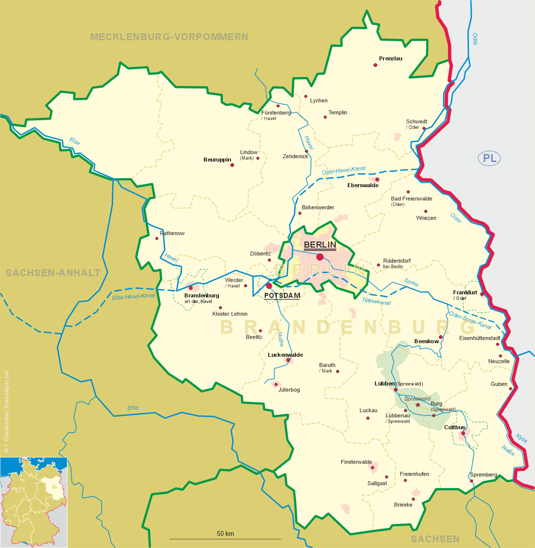
| Bundesland: Brandenburg | |
| Landkreis: Elbe-Elster |
map →
 Sallgast is situated at an elevation of 139 m about 14 km east of Finsterwalde among the headwaters of the river Kleine Elster.
Sallgast has a population of 1,784 (2005) and is administered by the Amt Kleine Elster together with the communities Crinitz, Lichterfeld-Schacksdorf and Massen-Niederlausitz.
Sallgast is situated at an elevation of 139 m about 14 km east of Finsterwalde among the headwaters of the river Kleine Elster.
Sallgast has a population of 1,784 (2005) and is administered by the Amt Kleine Elster together with the communities Crinitz, Lichterfeld-Schacksdorf and Massen-Niederlausitz.
A moated castle was founded here in the 12th century. At that time the area was covered by extensive swamps. The town's name is derived from the Slavic name Zalgozdz, which means 'dry forest'. The oldest document mentioning the knights of Solgast dates from around 1290. During the Thirty Years' War (1618–1648) the castle was besieged, but was not conquered. The village, however, was looted and burnt to the ground in 1633. During the Seven Years' War (1756–1763) Sallgast was again hit hard. In modern times, the nearby brown coal surface mining became a threat to the village. In the late 1980s there were plans to extend the minig area to Sallgast. After a petition it was decided in 1989 to spare the village.
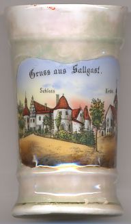
The  castle [left] was founded in the 12th century and obtained its modern appearance in the mid-16th century. Since 1966 it houses a popular restaurant.
The church [right] was built in the 14th to 16th centuries. The church tower was added in 1774.
![[scale]](lineal.jpg)