
|
|
| ÖSTERREICH | AUSTRIA |
| Bundesland: Oberösterreich | Upper Austria |
| Bezirk: Ried im Innkreis |
map →
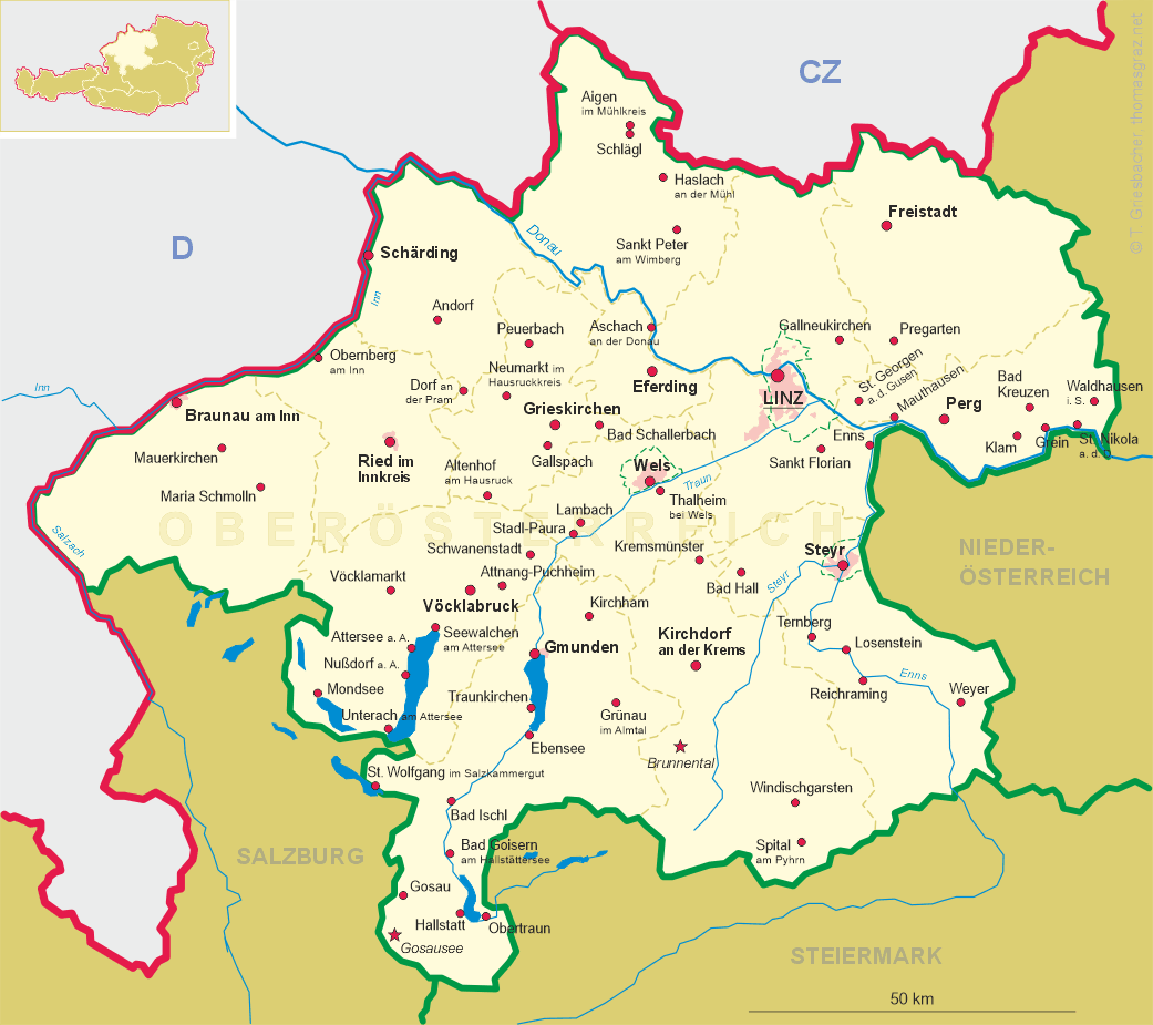
 Obernberg am Inn is situated at an elevation of 354 m on the right bank of the river Inn, about 18 km
northwest of the district town Ried im Innkreis. The municipality has a population of about
1,600 (2020).
Obernberg am Inn is situated at an elevation of 354 m on the right bank of the river Inn, about 18 km
northwest of the district town Ried im Innkreis. The municipality has a population of about
1,600 (2020).
Oprenberg was first mentioned in a written document dating from around 950. Towards the end of the 12 century it came in possession of the bishops of Passau while the surrounding Innviertel region still was part of Bavaria. In 1276 Obernberg obtained the privileges of a market town. The town's economy flourished on the basis of ship tolls and handicrafts. Several large fires hit the town in the 17th century. Rebuilt after that, much of the old town centre is still preserved in its splendid Baroque style. Following the Treaty of Teschen (today Cieszyn, Poland, and Český Těšín, Czech Republic) the surrounding Innviertel region (then kown as 'Innbaiern') was was separated from Bavaria and awarded to Austria. In 1782 the bishop of Passau ceded Obernberg to Austria. During the Napoleonic Wars the fortifications were demolished by the French and Obernberg for a short period was included in Bavaria but already in 1816 was finally returned to Austria.
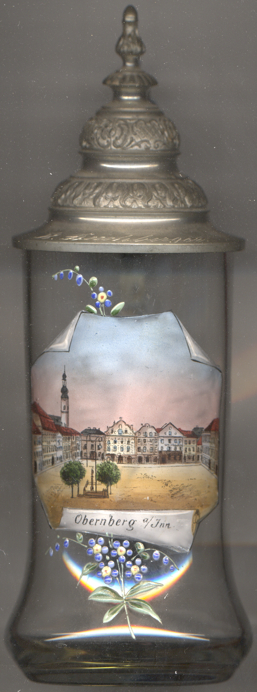
The  parish church of the Last Supper of Our Lord [left, no. 3904: background left]
was first mentioned around 1250. The original chapel, today the presbytery, was dedicated to the Body of Christ. The nave
of the present church was added in 1447; the church is the only temple in Austria being dedicated to the Last Supper.
The Gothic west tower was given a Baroque onion roof in 1888.
parish church of the Last Supper of Our Lord [left, no. 3904: background left]
was first mentioned around 1250. The original chapel, today the presbytery, was dedicated to the Body of Christ. The nave
of the present church was added in 1447; the church is the only temple in Austria being dedicated to the Last Supper.
The Gothic west tower was given a Baroque onion roof in 1888.
[https://de.wikipedia.org/wiki/Obernberg_am_Inn;
https://de.wikipedia.org/wiki/Pfarrkirche_Obernberg_am_Inn]
![[scale]](lineal.jpg)