
|
|
| ČESKÁ REPUBLIKA | CZECH REPUBLIC |
| Královéhradecký kraj | Hradec Králové region |
| Okres: Trutnov |
map →
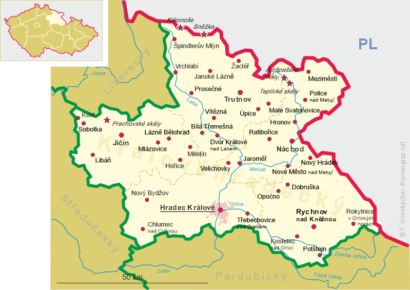
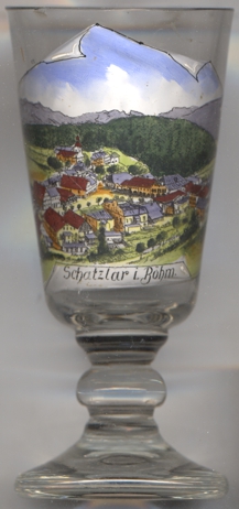 Žacléř (in German: Schatzlar) is situated at an elevation of 612 m in the Rýchory mountains in northern
Bohemia, about 50 km north of the district town Hradec Králové. The municipality has a population of about 3,100 (2021).
Žacléř (in German: Schatzlar) is situated at an elevation of 612 m in the Rýchory mountains in northern
Bohemia, about 50 km north of the district town Hradec Králové. The municipality has a population of about 3,100 (2021).
Žacléř was founded on the Silesian trail, which was a trade route from Trutnov to
Wrocław. A guarding castle for the protection of the trail was built here around 1260. The first written mention of the
castle is from 1334. The village was at first named Bornflos, which was later changed to Bernstadt, but later took the name of the castle,
Schatzlar, in Czech: Žacléř. From 1570, hard coal was mined here and
from 1670, beer was brewed here. In the 19th century, the industrialization occurred. Paper mill, glassworks, and factories for textile, ceramics or
soda were founded, but almost all operation ended during the 20th century. In 1992, the coal mining ended. During World War II, the German
occupiers operated a women subcamp of the Gross-Rosen concentration camp in the town. The prisoners were mostly of Jewish women deported from German-occupied
Poland and Hungary. The camp was liberated on 8 May 1945, coincidentally the day of the end of World War II in Europe.
[https://de.wikipedia.org/wiki/%C5%BDacl%C3%A9%C5%99, https://en.wikipedia.org/wiki/%C5%BDacl%C3%A9%C5%99]
![[scale]](lineal.jpg)