
|
|
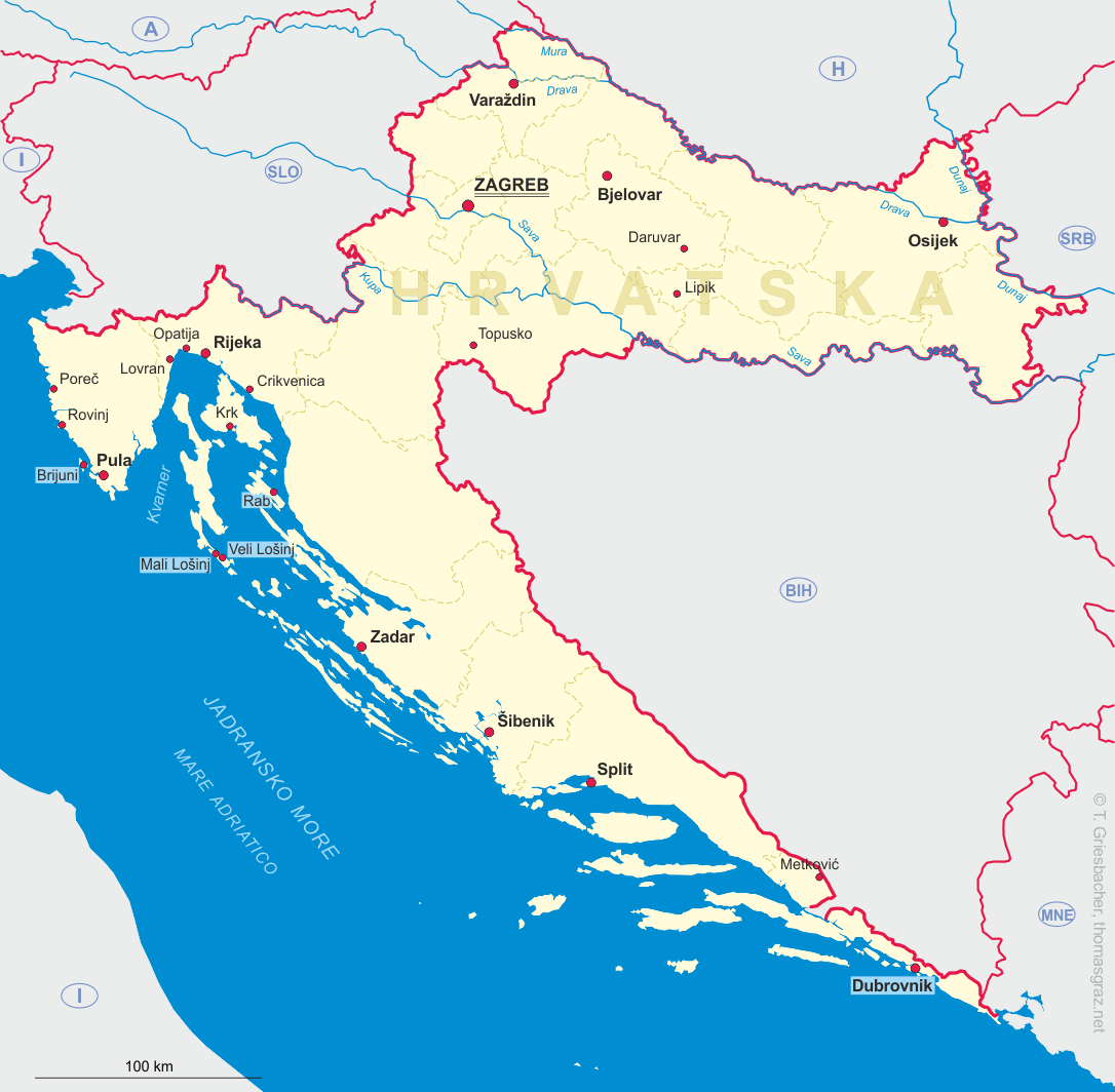
| HRVATSKA | CROATIA |
| županija: Bjelovarsko-bilogorska |
map →
 Bjelovar is situated at an elevation of 126 m in the lowlands of eastern Croatia. Located in the border region with the Ottoman empire,
the area saw many battles. After an uprising in 1755 Maria Theresia of Austria decided for strategic reasons to start
the development of Bjelovar. When the military authorities called in new settlers, many craftsmen from Austria and Bohemia came into the area.
Bjelovar obtained the status of a free Royal Town in 1874.
Bjelovar is situated at an elevation of 126 m in the lowlands of eastern Croatia. Located in the border region with the Ottoman empire,
the area saw many battles. After an uprising in 1755 Maria Theresia of Austria decided for strategic reasons to start
the development of Bjelovar. When the military authorities called in new settlers, many craftsmen from Austria and Bohemia came into the area.
Bjelovar obtained the status of a free Royal Town in 1874.
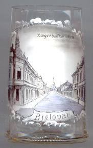
The picture on glass no. 936 [left] shows a view of
 Zagrebačka cathedral
![[scale]](lineal.jpg)