
|
|
| ÖSTERREICH | AUSTRIA |
| Bundesland: Oberösterreich | Upper Austria |
| Bezirk: Kirchdorf an der Krems |
map →
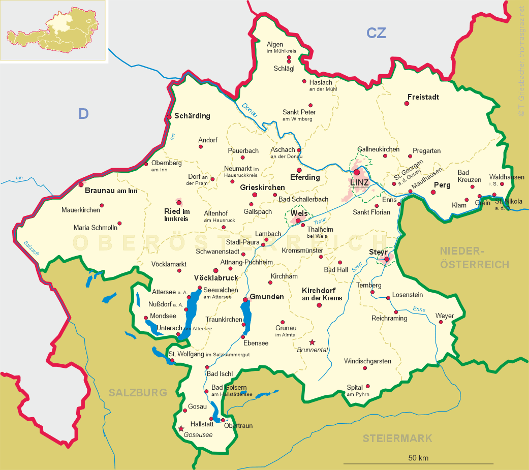
 Molln is situated at an elevation of 442 m in the valley of the river Steyr, about 12 km east-southeast of
the district town Kirchdorf an der Krems and about 47 south of Linz,
the capital of Austria's state of Upper Austria. The municipality has a population of about 3,600 (2025).
Molln is situated at an elevation of 442 m in the valley of the river Steyr, about 12 km east-southeast of
the district town Kirchdorf an der Krems and about 47 south of Linz,
the capital of Austria's state of Upper Austria. The municipality has a population of about 3,600 (2025).
Originally situated in the eastern part of the Duchy of Bavaria, the town had belonged to the Duchy of Austria since the 12th century. Molna was first mentioned in a document from Garsten abbey in 1233. In 1336 Molln was granted the privileges of a market town. As a result of the town being pawned to the abbey of Spital am Pyhrn, the market rights were lost and were only restored in 1977.
The Catholic  parish church of Sankt Laurentius [left, no. 0000: background]
was first mentioned in 1241. Church consecrations were documented in 1443 and 1519. The original roof truss is still in place
on the late-Gothic nave and the chancel. Work on the west tower, with its pointed spire, began in the early 19th century
and was completed in 1913.
parish church of Sankt Laurentius [left, no. 0000: background]
was first mentioned in 1241. Church consecrations were documented in 1443 and 1519. The original roof truss is still in place
on the late-Gothic nave and the chancel. Work on the west tower, with its pointed spire, began in the early 19th century
and was completed in 1913.
[https://de.wikipedia.org/wiki/Molln]
![[scale]](lineal.jpg)