
|
|
| DEUTSCHLAND | GERMANY |
| Bundesland: Rheinland-Pfalz | Rhineland-Palatinate |
| Landkreis: Ahrweiler |
map →
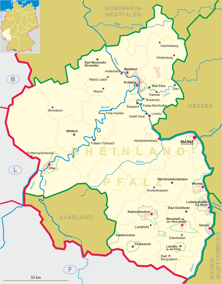
Bad Neuenahr-Ahrweiler is situated at an elevation of 99 m on the river Ahr in the north of Germany's state of Rhineland-Palatinate. It is the capital of the district Ahrweiler and has a population of about 27,500 (2002).
 The earliest written mention of Ahrweiler is found in a document of AD 893, a list of the domains of
the monastery at Prüm.
In 1246 it came in possession of the archbishopric of Cologne.
From 1255, documents regularly mention Ahrweiler as oppidum, a town.
A municipal seal, however, was used only from 1320 onwards.
In 1797 Ahrweiler, together with whole region, became part of France (département Rhin-et-Moselle).
When the area had to be returned by France after the Congress of Vienna in 1815,
Ahrweiler became part of the Prussian Rhine Province.
The mineral spring Appolinarisbrunnen was discovered by drilling in 1852. The spa
Neuenahr was then founded in 1858. The casino of Bad Neuenahr was opened in 1948.
The municipalities of Ahrweiler and Bad Neuenahr were
united to Bad Neuenahr-Ahrweiler in 1969.
The earliest written mention of Ahrweiler is found in a document of AD 893, a list of the domains of
the monastery at Prüm.
In 1246 it came in possession of the archbishopric of Cologne.
From 1255, documents regularly mention Ahrweiler as oppidum, a town.
A municipal seal, however, was used only from 1320 onwards.
In 1797 Ahrweiler, together with whole region, became part of France (département Rhin-et-Moselle).
When the area had to be returned by France after the Congress of Vienna in 1815,
Ahrweiler became part of the Prussian Rhine Province.
The mineral spring Appolinarisbrunnen was discovered by drilling in 1852. The spa
Neuenahr was then founded in 1858. The casino of Bad Neuenahr was opened in 1948.
The municipalities of Ahrweiler and Bad Neuenahr were
united to Bad Neuenahr-Ahrweiler in 1969.
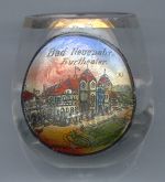
The  spa theatre (Kurtheater) [left]
was built in 1903–1905 in neo-Baroque style.
spa theatre (Kurtheater) [left]
was built in 1903–1905 in neo-Baroque style.
![[scale]](lineal.jpg)