
|
|
| ČESKÁ REPUBLIKA | CZECH REPUBLIC |
| Vysočina | Highlands (Jihlava) region |
| Okres: Žďár nad Sázavou |
map →
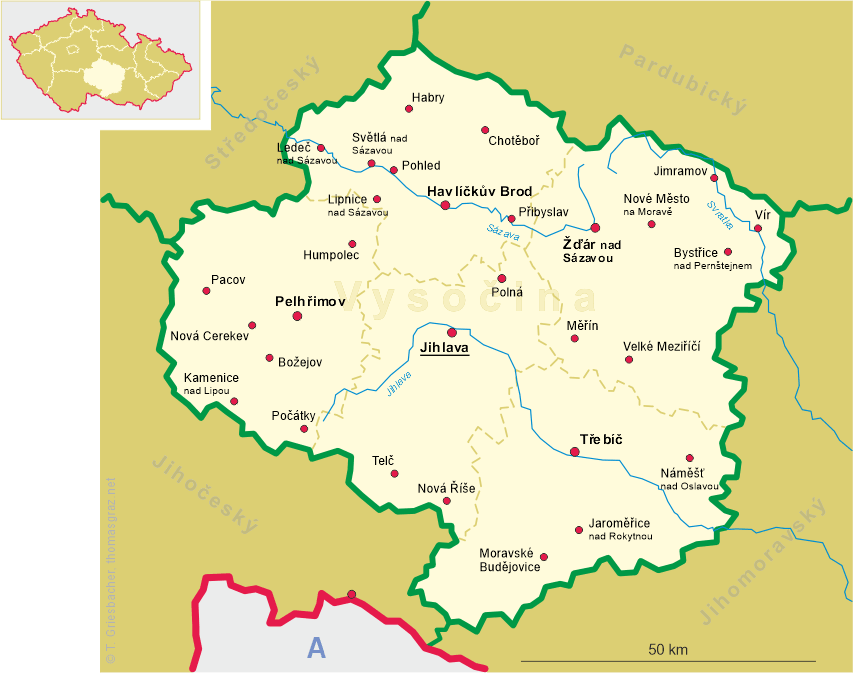
 Měřín is situated at an elevation of 487 m at the confluence of the rivers
Zblatí and Balinka in the Bohemian-Moravian Highlands about 10 km northwest of
Velké Meziříčí in the district
Žďár nad Sázavou of the Vysočina (Highlands or
Jihlava) region of the Czech Republic. The municipality has a population of
about 2,000 (2016).
Měřín is situated at an elevation of 487 m at the confluence of the rivers
Zblatí and Balinka in the Bohemian-Moravian Highlands about 10 km northwest of
Velké Meziříčí in the district
Žďár nad Sázavou of the Vysočina (Highlands or
Jihlava) region of the Czech Republic. The municipality has a population of
about 2,000 (2016).
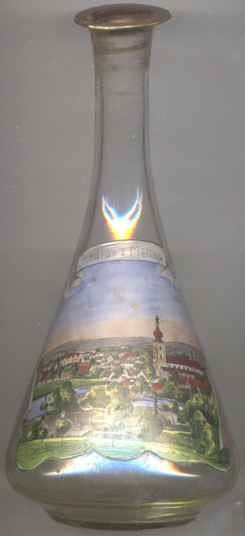
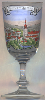
The oldest document mentioning Měřín dates from 1298, when Přemysl I Otakar, king of Bohemia,
and the bishop of Olomouc founded the priory of
The  church of St. John the Baptist
dates back to the Romanesque period. The front gate, dating from 1240, was rediscovered after two fires
in 1768 and 1810 when brickwork, which had covered up the portal for several centuries, was removed.
church of St. John the Baptist
dates back to the Romanesque period. The front gate, dating from 1240, was rediscovered after two fires
in 1768 and 1810 when brickwork, which had covered up the portal for several centuries, was removed.
[https://de.wikipedia.org/wiki/Měřín]
![[scale]](lineal.jpg)