
|
|
| ÖSTERREICH | AUSTRIA |
| Bundesland: Salzburg | |
| Bezirk: Hallein |
map →
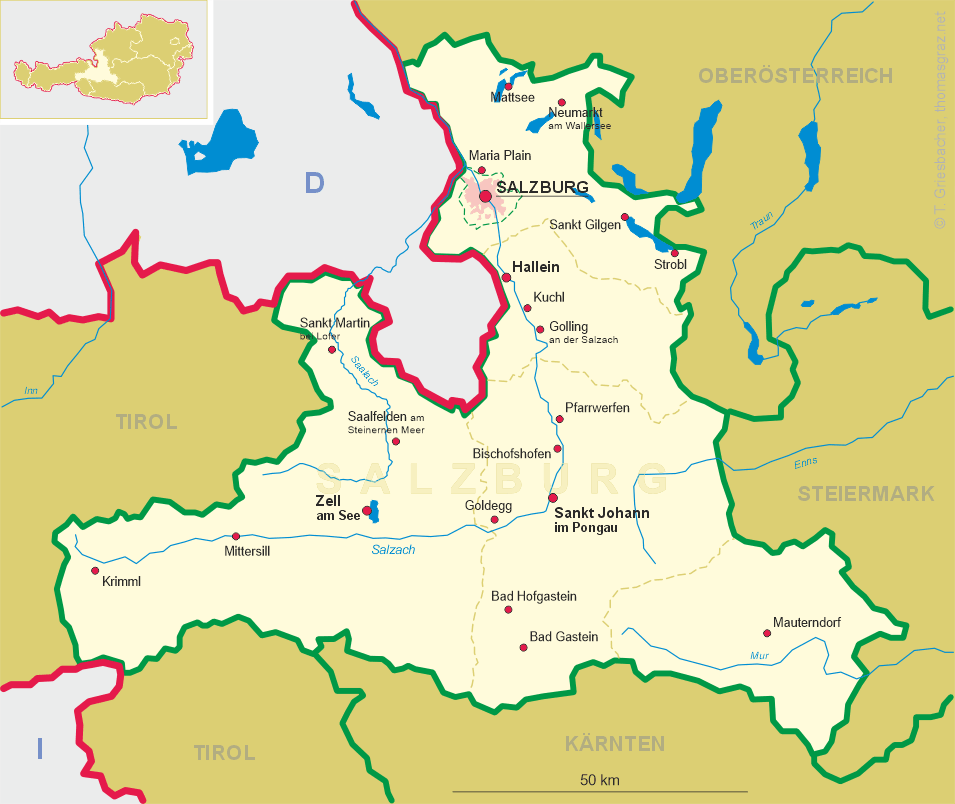
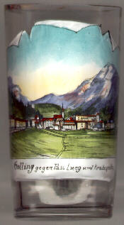
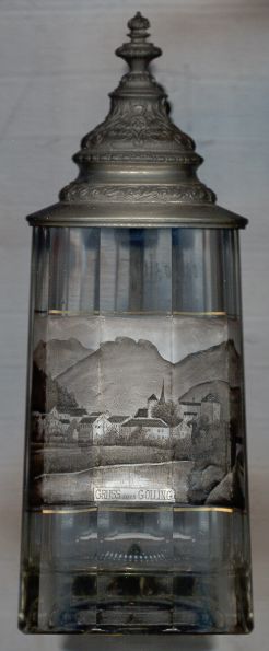 Golling an der Salzach is situated at an elevation of 480 m on the river Salzach in the Tennengau region at the Southern end of the
Salzburg basin.
Golling an der Salzach is situated at an elevation of 480 m on the river Salzach in the Tennengau region at the Southern end of the
Salzburg basin.
The first mention in a document of Gollingen dates from 1241. Golling obtained the status of a market town in 1390. It is well-known for its summer tourism.
To the South, the  Lueg pass (552 m) [left, no. 330: background]
connects Golling with the upper Salzach valley. The Salzach river forms the gorge Salzachöfen; the valley of the Lammer river with its gorge Lammeröfen connects Golling with Abtenau.
The spectacular Golling waterfalls at the foot of the mountain Hoher Göll (2,522 m) have a height of 76 m.
Lueg pass (552 m) [left, no. 330: background]
connects Golling with the upper Salzach valley. The Salzach river forms the gorge Salzachöfen; the valley of the Lammer river with its gorge Lammeröfen connects Golling with Abtenau.
The spectacular Golling waterfalls at the foot of the mountain Hoher Göll (2,522 m) have a height of 76 m.
The Kratzspitze (1,759 m) [left, no. 330: background right] is one of the summits of
the southeastern part of the Hagengebirge mountain region.
![[scale]](lineal.jpg)