
|
|
| ÖSTERREICH | AUSTRIA |
| Bundesland: Vorarlberg | |
| Bezirk: Bludenz |
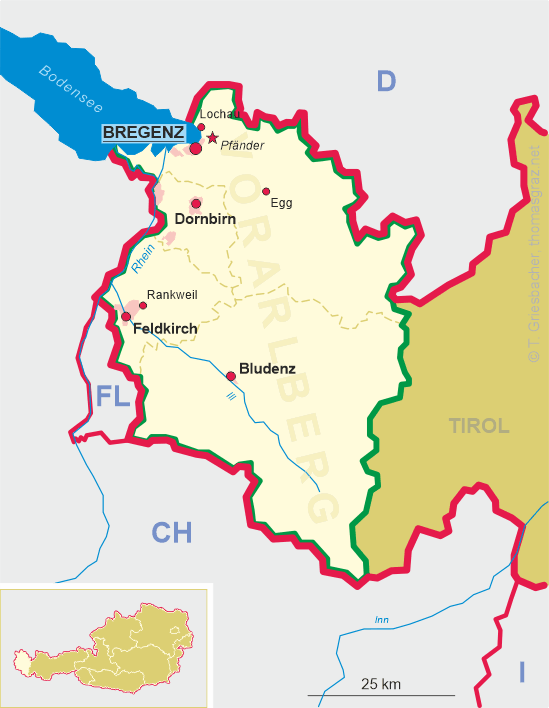
map →
 Bludenz was first documented as Pludeno in 842 but archeological finds prove that the area was already inhabited in the Bronze Age.
The first mentioning as town (oppidum Bludens) dates from 1296. In 1394 the dominion of Bludenz was bought by the house of Habsburg.
Since 1420 it was the seat of Austrian governors, from 1474 also for the dominion Sonnenberg. The old town had to be rebuilt several times following
fires in 1444, 1491, 1638 and 1682. In the 19th century the town grew rapidly following industrialisation (textile industry since 1813)
and improved communication by road (1822–1825 improvement of the road across the Arlberg pass) and railroad (1872
Bregenz–Dornbirn–Hohenems–Feldkirch–Bludenz,
1884 Arlbergbahn: Bludenz–Landeck, 1905 Montafonerbahn: Bludenz–Schruns).
Bludenz was first documented as Pludeno in 842 but archeological finds prove that the area was already inhabited in the Bronze Age.
The first mentioning as town (oppidum Bludens) dates from 1296. In 1394 the dominion of Bludenz was bought by the house of Habsburg.
Since 1420 it was the seat of Austrian governors, from 1474 also for the dominion Sonnenberg. The old town had to be rebuilt several times following
fires in 1444, 1491, 1638 and 1682. In the 19th century the town grew rapidly following industrialisation (textile industry since 1813)
and improved communication by road (1822–1825 improvement of the road across the Arlberg pass) and railroad (1872
Bregenz–Dornbirn–Hohenems–Feldkirch–Bludenz,
1884 Arlbergbahn: Bludenz–Landeck, 1905 Montafonerbahn: Bludenz–Schruns).
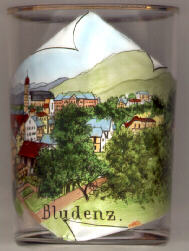
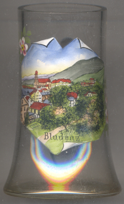
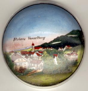 The
The  former parish church St. Laurentius dominates the silhouette
of the old town. The church was completed in 1514, the church tower dates from 1670.
former parish church St. Laurentius dominates the silhouette
of the old town. The church was completed in 1514, the church tower dates from 1670.
![[scale]](lineal.jpg)