
|
|
| ÖSTERREICH | AUSTRIA |
| Bundesland: Niederösterreich | Lower Austria |
| Bezirk: Horn |
map →

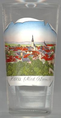
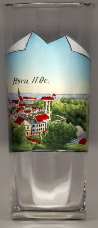
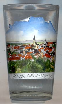
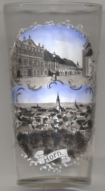
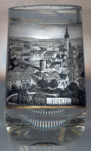
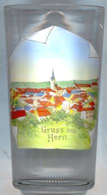 The district town Horn is situated at an elevation of 311 m in the eastern Waldviertel region of Lower Austria.
The first mentioning in a document dates from about 1045–65 (Hornarun). The castle and the medieval town originated at about 1150–1160.
Horn had the status of a town already in 1282. The town was fortified prior to 1304, and was enlarged during the 16th and 17th century.
It was an important town during the times of the Reformation in the late 16th and early 17th century; the "Horner Bund" of 1608 was an alliance of protestant noblemen against their
sovereign, Emperor Matthias. However, Imperial troops conquered Horn in 1620. Since 1850, it is the seat of the Horn district administration.
The district town Horn is situated at an elevation of 311 m in the eastern Waldviertel region of Lower Austria.
The first mentioning in a document dates from about 1045–65 (Hornarun). The castle and the medieval town originated at about 1150–1160.
Horn had the status of a town already in 1282. The town was fortified prior to 1304, and was enlarged during the 16th and 17th century.
It was an important town during the times of the Reformation in the late 16th and early 17th century; the "Horner Bund" of 1608 was an alliance of protestant noblemen against their
sovereign, Emperor Matthias. However, Imperial troops conquered Horn in 1620. Since 1850, it is the seat of the Horn district administration.
The  parish church Sankt Georg was built in 1593–1597 in Late Gothic and Renaissance style as a representative, originally protestant,
church in place of an older church that was first mentioned in 1367. During the 17th century it was remodelled in Baroque style. In 1880, the tower received a new roof
reminiscent of the tower of the Teyn church in Prague.
parish church Sankt Georg was built in 1593–1597 in Late Gothic and Renaissance style as a representative, originally protestant,
church in place of an older church that was first mentioned in 1367. During the 17th century it was remodelled in Baroque style. In 1880, the tower received a new roof
reminiscent of the tower of the Teyn church in Prague.
Wilhelm Miklas (1872–1956), later Federal President of Austria (1928–1938), was director of the local grammar-school.
Rudolf Kirchschläger (1915–2000), Federal President of Austria (1974–1986), went to school in Horn from 1930 to 1935.
![[scale]](lineal.jpg)