
|
|
| ÖSTERREICH | AUSTRIA |
| Bundesland: Niederösterreich | Lower Austria |
| Bezirk: Bruck an der Leitha |
map →

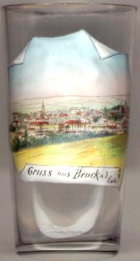
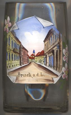
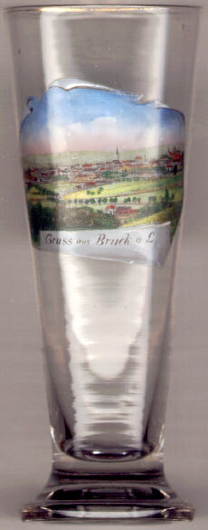
 The district town Bruck an der Leitha is situated at an elevation of 157 m in the Brucker Pforte depression of the river Leitha valley in eastern Lower Austria.
The first mention in a document (Aschirichesprucca) dates from 1074. The status of a town was obtained already in 1239.
The present ground plan of the city goes back to the 13th century, when the medieval town was founded according to a strict plan of rectangular blocks of houses.
Remains of the medieval fortifications can still be seen today.
The district town Bruck an der Leitha is situated at an elevation of 157 m in the Brucker Pforte depression of the river Leitha valley in eastern Lower Austria.
The first mention in a document (Aschirichesprucca) dates from 1074. The status of a town was obtained already in 1239.
The present ground plan of the city goes back to the 13th century, when the medieval town was founded according to a strict plan of rectangular blocks of houses.
Remains of the medieval fortifications can still be seen today.
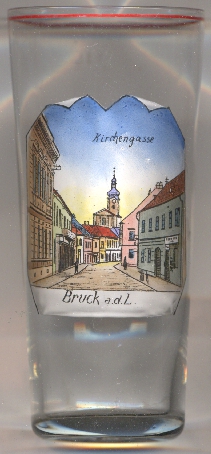
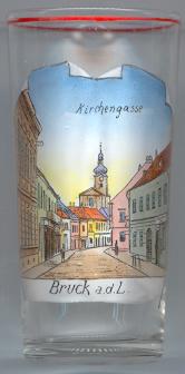
The  parish church Zur Heiligen Dreifaltigkeit (Trinity church) [right, no. 637: background]
was built in Baroque style in two periods in 1696–1702 and in 1738–1740.
parish church Zur Heiligen Dreifaltigkeit (Trinity church) [right, no. 637: background]
was built in Baroque style in two periods in 1696–1702 and in 1738–1740.
See also:
Bruck an der Mur
Schloss Bruck in Lienz
![[scale]](lineal.jpg)