
|
|
| DEUTSCHLAND | GERMANY |
| Bundesland: Mecklenburg-Vorpommern | Mecklenburg-West Pomerania |
| Landkreis: Vorpommern-Rügen |
map →
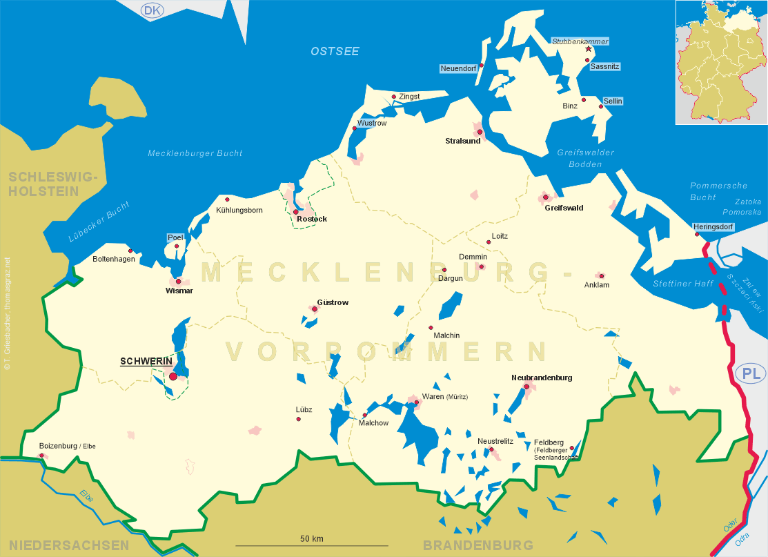
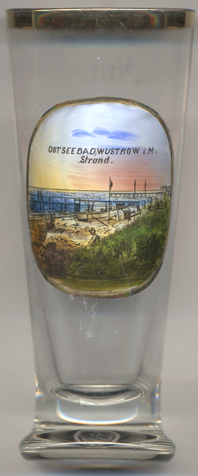 Wustrow is situated on the Fischland penninsula between the Baltic Sea and the lagoon Saaler Bodden, immediately
north of the narrowest part of the penninsula at the Permin bay. The municipality has a population of about 1,100 (2018).
Since 1926 the official name of the municipality includes the designation Ostseebad (Baltic Sea spa).
Wustrow is situated on the Fischland penninsula between the Baltic Sea and the lagoon Saaler Bodden, immediately
north of the narrowest part of the penninsula at the Permin bay. The municipality has a population of about 1,100 (2018).
Since 1926 the official name of the municipality includes the designation Ostseebad (Baltic Sea spa).
The oldest settlements in this place seem to have been founded in the times of the Migration Period (about 4th to 6th century), when Slavic people settled on Fischland, which at that time was still an island. The oldest document mentioning Wustrow dates from 1235. The Permin waterway on the southernd end of Fischland was filled in in 1395 in order to make it more difficult for the people of Ribnitz on the mainland to reach the Baltic Sea; around 1400 the waterway 'Loop' between Fischland and the former island of Darß was closed around 1400. In 1528 Wustrow came in possession of the Ribnitz nunnery and later passed to the Dukes of Mecklenburg. Fishing and maritime transport were a central part of the village's economy throughout its history. The Mecklenburg Grandducal Maritime School was founded in Wustrow in 1846 and operated until 1992.
Other glasses in this collection show views from further places of which the official names include the designation
Ostseebad (Baltic Sea spa):
• Ostseebad Binz
• Ostseebad Boltenhagen
• Ostseebad Heringsdorf
• Ostseebad Insel Poel
• Ostseebad Kühlungsborn
• Ostseebad Laboe
• Ostseebad Sellin
• Ostseeheilbad Zingst
[https://de.wikipedia.org/wiki/Wustrow_(Fischland)]
![[scale]](lineal.jpg)