
|
|
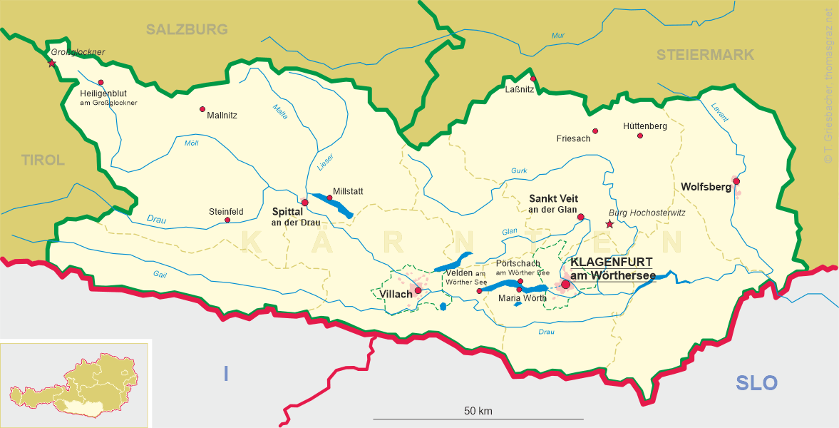
| ÖSTERREICH | AUSTRIA |
| Bundesland: Kärnten | Carinthia |
| Bezirk: Sankt Veit an der Glan |
map →
Hüttenberg is situated at an elevation of 786 m at the confluence
of the Steierbach and the Mosinzbach to the river Görtschnitz.
Iron mining at the nearby Knappenberg (also called Hüttenberger Erzberg,
1064 m) was already performed in pre-Roman times. The first mentioning
in a written document dates from 1266. From the 10th century until 1805 it was
in possession of the Archdiocese of Salzburg. The
iron deposits of Hüttenberg were the second-largest ones in Austria after the
Erzberg in Styria. Iron mining was terminated in 1978.
Since then Hüttenberg has lost great parts of its population due to large economical
problems. Parts of the mining tunnels are now open to the public as mining museum.
The ruins of the iron-smelting factory, an important monument of industrial architecture
in Austria, were transformed to an acclaimed modern exhibition centre by the Austrian
architect Günther Domenig in 1995.
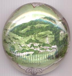
The late gothic  parish church Sankt Nikolaus [centre right]
of the 15th century was enlarged in the 19th century in neo-gothic style.
parish church Sankt Nikolaus [centre right]
of the 15th century was enlarged in the 19th century in neo-gothic style.
![[scale]](lineal.jpg)