
|
|
| SLOVENSKO | SLOVAKIA |
| Žilinský kraj | Žilina region |
| okres: Martin |
map →
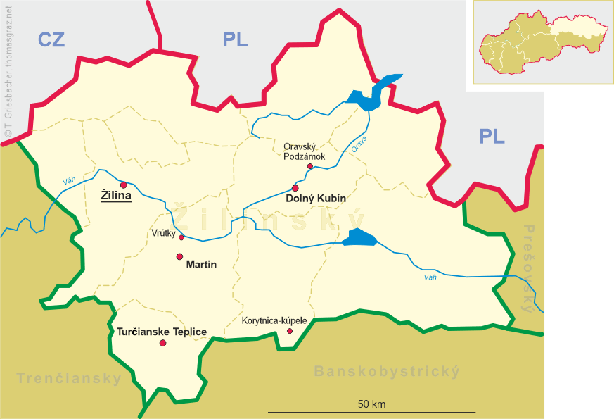
 Vrútky is situated at an elevation of 391 m on the river Váh (hungarian: Vág, German Waag),
about 10 km north of the district town Martin.
Vrútky has a population of about 6,000.
Vrútky is situated at an elevation of 391 m on the river Váh (hungarian: Vág, German Waag),
about 10 km north of the district town Martin.
Vrútky has a population of about 6,000.
The oldest documents mentioning the place date from 1255 and 1271.
During the medieval times the place obtained considerable importance as it was located on an important trading route.
From the second half of the 14th century on, a distinction was made between an upper an a lower community
which were dominated by several different landholders.
By the mid-18th century the common name Vrútky had become popular,
and by the end of the 19th century both parts were administratively united into a single community.
After 1869 Upper and Lower Vrútky (Horné Vrútky, Dolné Vrútky; hungarian: Ruttka) became a large railroad centre at the junction of the
railroad from Košice to Bohumín
with the Hungarian state railroad MÁV (line from Budapest via Zvolen to Vrútky).
The town subsequently became a residential-industrial agglomeration with the
largest number of inhabitants in the Turiec region. After World War I Vrútky continued to
be an important railroad hub in the Czechoslovak Republic.
Today, Vrútky is an newly developing centre of the Lower Turiec region and together with the district town
Martin provides a new growing impulse of this agglomeration.
![[scale]](lineal.jpg)