
|
|
| ÖSTERREICH | AUSTRIA |
| Bundesland: Steiermark | Styria |
| Bezirk: Liezen |
map →
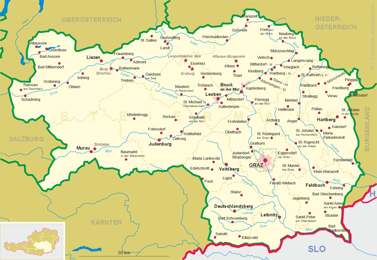
Klachau is situated at an elevation of 875 m north of the Grimming mountain, about 2 km south of Tauplitz and about 6 km east of Bad Mitterndorf in the northeast of the district Liezen in of Austria's federal state of Styria. The Klachauer Höhe stretch of the Salzkammergutstraße (B 145; Salzkammergut Road), which connects Vöcklabruck via Gmunden, Bad Ischl and Bad Aussee to Trautenfels (today part of Stainach-Pürgg), up until the 1970s was notorious for its gradient of up to 19 per cent.
 Until 2014, Klachau was part of the municipality of Tauplitz, which, together with Pichl-Kainisch, on 1 January 2015 was merged
into the municipality of Bad Mitterndorf.
Until 2014, Klachau was part of the municipality of Tauplitz, which, together with Pichl-Kainisch, on 1 January 2015 was merged
into the municipality of Bad Mitterndorf.
The  Grimming (2,351 m) [background], just south of Klachau, is an isolated peak in the
Dachstein Mountains of Austria and one of the few ultra-prominent mountains of the Alps. The Grimming rises between the Enns valley and
the Salzkammergut lake district, east of the Dachstein massif, being separated from its eastern rim by the Salza Gorge. Although it is
topographically separate from the Dachstein, the Grimming is mainly made of Dachstein limestone.
Grimming (2,351 m) [background], just south of Klachau, is an isolated peak in the
Dachstein Mountains of Austria and one of the few ultra-prominent mountains of the Alps. The Grimming rises between the Enns valley and
the Salzkammergut lake district, east of the Dachstein massif, being separated from its eastern rim by the Salza Gorge. Although it is
topographically separate from the Dachstein, the Grimming is mainly made of Dachstein limestone.
[https://fallingrain.com/world/AU/06/Klachau.html;
https://www.ennstalwiki.at/wiki/index.php/Klachau;
https://de.wikipedia.org/wiki/Salzkammergutstra%C3%9Fe;
https://en.wikipedia.org/wiki/Grimming]
![[scale]](lineal.jpg)